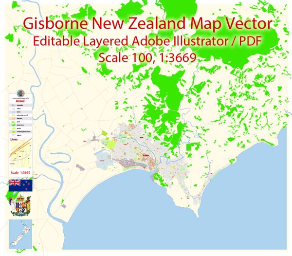
A general description of the transportation system in Gisborne, New Zealand.
Road Transportation: Gisborne is connected to the rest of New Zealand by road. The State Highway 2 (SH2) is a key route that connects Gisborne to other major cities and regions. Local roads within Gisborne provide access to various neighborhoods and essential facilities.
Public Transportation: Public transportation in Gisborne primarily consists of buses. The Gisborne District Council or local transport operators may provide bus services connecting different parts of the city and nearby areas. The availability and frequency of these services can vary, so it’s recommended to check with local authorities for the most up-to-date information.
Air Transportation: Gisborne Airport (GIS) serves as the primary air transportation hub for the region. The airport provides domestic flights to and from major cities in New Zealand. Airlines operating at Gisborne Airport may change, so it’s advisable to check with the airport or airlines for the latest flight information.
Port and Maritime Transportation: The Port of Gisborne is important for maritime transportation. It facilitates the movement of goods and cargo, playing a crucial role in the region’s economy. Fishing and forestry-related activities are also significant aspects of maritime transportation in Gisborne.
Cycling and Walking: Gisborne may have facilities for cycling and walking, including dedicated paths and trails. These options contribute to a more sustainable and active transportation system.
Challenges and Developments: Like many other regions, Gisborne may face transportation challenges, such as congestion and infrastructure maintenance. Efforts to improve transportation infrastructure, enhance public transportation services, and promote sustainable modes of travel are common themes in urban planning.
For the most current and detailed information, it is recommended to check with local authorities, transportation agencies, or official government sources in Gisborne. They can provide the latest updates on transportation services, projects, and developments in the region.


 Author: Kirill Shrayber, Ph.D. FRGS