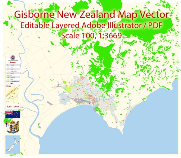
Some general information about Gisborne, New Zealand’s principal streets and roads.
- Gladstone Road:
- This is one of the main streets in Gisborne and is known for its waterfront location. It runs parallel to the coastline and is home to various shops, restaurants, and businesses.
- Cobden Street:
- Another important street in Gisborne, Cobden Street intersects with Gladstone Road and hosts a mix of commercial and residential properties.
- Childers Road:
- This road is located in the southern part of Gisborne and provides access to various neighborhoods and local amenities.
- Customhouse Street:
- Found in the central area, Customhouse Street is close to the harbor and serves as a connection point to several other streets and areas.
- Ormond Road:
- Located in the western part of Gisborne, Ormond Road is a residential area with access to schools, parks, and local facilities.
- Wainui Road:
- Wainui Road leads to the Wainui Beach area, a popular spot for residents and visitors. It is known for its scenic views and recreational activities.
- Te Hapara:
- Te Hapara is a suburb in Gisborne, and the streets within this area provide access to residential neighborhoods, schools, and parks.
- Nelson Road:
- Nelson Road runs through various parts of Gisborne, providing access to different neighborhoods and local amenities.
- Roebuck Road:
- This road is located in the northeastern part of Gisborne and offers access to the industrial area and the Gisborne Airport.
It’s important to note that road layouts and infrastructure can change, and new developments may have occurred since my last update. For the most current and detailed information about streets and roads in Gisborne, consider checking with the local city council, maps, or online mapping services.


 Author: Kirill Shrayber, Ph.D. FRGS