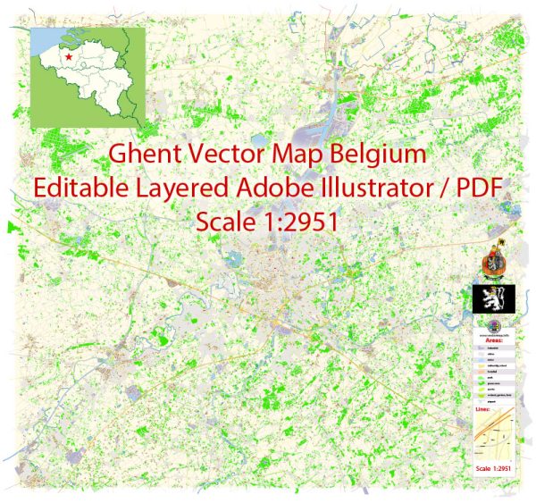
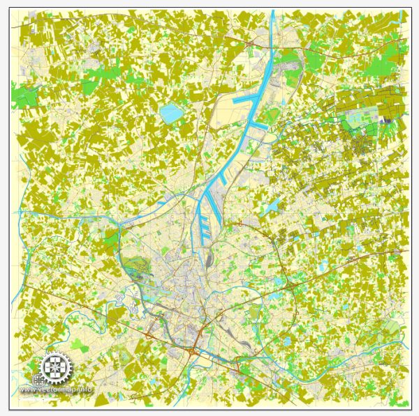
Ghent, a city in Belgium, is known for its medieval architecture, canals, and vibrant cultural scene. The city’s layout includes a network of streets and roads that connect its various neighborhoods and attractions.
- Graslei and Korenlei: These are two picturesque streets located along the canal in the historic center of Ghent. Graslei and Korenlei are lined with well-preserved medieval buildings, creating a charming atmosphere. They are popular for leisurely strolls and are often bustling with tourists and locals.
- Veldstraat: As one of Ghent’s main shopping streets, Veldstraat is a lively thoroughfare with a variety of shops, boutiques, and cafes. It is centrally located and connects several key areas in the city.
- Sint-Michielsstraat: This street leads to St. Michael’s Bridge and is known for its historic buildings and architectural charm. St. Michael’s Bridge provides stunning views of the cityscape.
- Belfortstraat: This street is close to the Belfry of Ghent, a UNESCO World Heritage Site. The Belfry is an iconic medieval tower, and Belfortstraat is a central route leading to this historic landmark.
- Kouter: Kouter is a square surrounded by elegant buildings and is known for hosting markets and events. It is a hub for cultural activities and is connected to several streets leading to different parts of the city.
- Coupure Links and Coupure Rechts: These are two tree-lined streets along the Coupure canal. Coupure Links and Coupure Rechts are known for their scenic beauty and are often used for peaceful walks.
- Charles de Kerchovelaan: This avenue runs through the southern part of the city and is known for its wider streets and green spaces. It connects various neighborhoods and provides access to different parts of Ghent.
- E40 and E17 Highways: These are major highways that connect Ghent to other cities in Belgium and Europe. They are crucial for regional and international transportation.
Keep in mind that the city layout may evolve, and new developments can impact the network of streets and roads. For the most accurate and up-to-date information, it’s recommended to check local maps or navigation tools.


 Author: Kirill Shrayber, Ph.D. FRGS