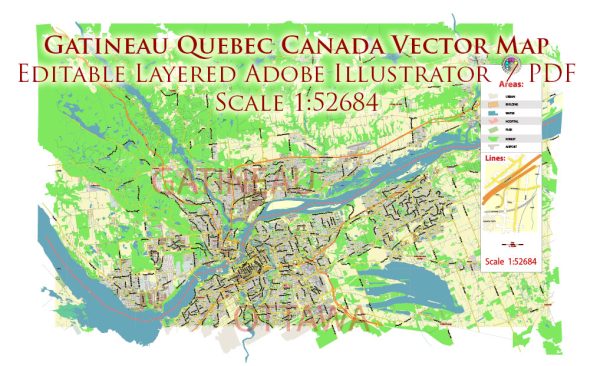
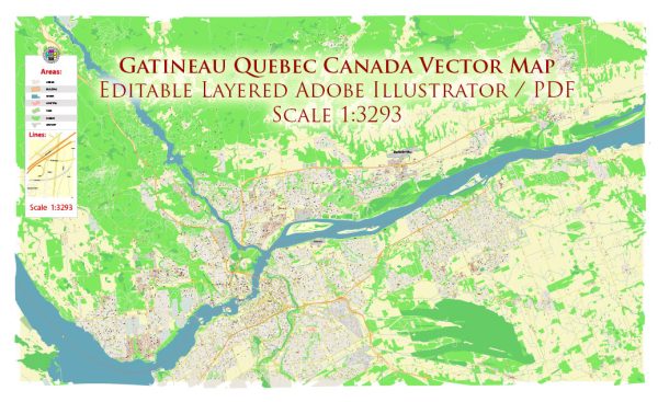
Gatineau, Quebec, is a city with a network of streets and roads that facilitate transportation within the city and connect it to neighboring areas, including Ottawa. Here are some principal streets and roads in Gatineau:
- Boulevard Gréber:
- This is a major thoroughfare that runs through Gatineau and is one of the city’s primary commercial and business corridors.
- Boulevard Maloney:
- Boulevard Maloney is another significant road in Gatineau, providing access to various neighborhoods and commercial areas.
- Boulevard des Allumettières:
- This boulevard runs along the Ottawa River and is a key route in Gatineau, offering scenic views of the river and connecting different parts of the city.
- Boulevard Saint-Joseph:
- Boulevard Saint-Joseph is a major east-west road that traverses Gatineau, linking various residential and commercial areas.
- Highway 50:
- Highway 50 is a major controlled-access highway that connects Gatineau to other parts of the province of Quebec. It plays a crucial role in regional transportation.
- Rue Laurier:
- This street is one of the central roads in Gatineau and is located in the downtown area, featuring shops, restaurants, and other businesses.
- Rue Montcalm:
- Rue Montcalm is another notable street in Gatineau, providing access to different neighborhoods and amenities.
- Rue Main:
- Located in the Hull sector, Rue Main is an important street with various services and attractions.
- Rue Saint-Louis:
- This street is situated in the Aylmer sector of Gatineau, offering access to residential areas and local facilities.
- Pont Champlain:
- Pont Champlain (Champlain Bridge) is a key bridge connecting Gatineau to Ottawa over the Ottawa River.
- Pont Macdonald-Cartier:
- The Macdonald-Cartier Bridge is another vital bridge linking Gatineau to Ottawa.
It’s important to note that the street and road network may have changed or evolved, and new developments may have taken place. For the most accurate and up-to-date information, you may want to consult local maps, navigation apps, or contact municipal authorities in Gatineau.


 Author: Kirill Shrayber, Ph.D. FRGS