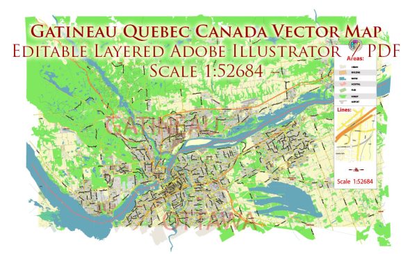
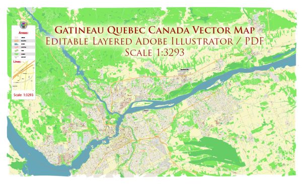
Gatineau is a city located in the province of Quebec, Canada, just across the Ottawa River from the nation’s capital, Ottawa. The transportation system in Gatineau is well-integrated with the larger regional transportation network that serves the National Capital Region.
Here is a general description of the principal transportation systems in Gatineau:
- Roads and Highways:
- Gatineau is connected to Ottawa via several bridges, including the Macdonald-Cartier Bridge and the Portage Bridge. These bridges play a crucial role in facilitating the movement of vehicles between the two cities.
- Highway 50 is a significant east-west corridor that runs through Gatineau, connecting it to other parts of Quebec.
- Public Transit:
- Société de transport de l’Outaouais (STO) is the public transit agency serving Gatineau. It operates a network of buses that connect various neighborhoods within the city and provide transportation to Ottawa.
- STO also coordinates with OC Transpo, the transit agency in Ottawa, to ensure seamless public transit services across the region.
- Bicycling and Pedestrian Infrastructure:
- Gatineau has been working on improving cycling and pedestrian infrastructure, with the development of bike lanes, pedestrian paths, and green spaces to encourage active transportation.
- Airport:
- Gatineau-Ottawa Executive Airport serves the region, providing general aviation services.
- Rail Transport:
- Gatineau has a rail line that is primarily used for freight transport. Passenger rail services are generally accessed in Ottawa.
- Intercity Bus Services:
- Intercity bus services connect Gatineau to other cities in Quebec and Ontario, providing an additional transportation option for residents and visitors.
- Car Sharing and Taxis:
- Car-sharing services and traditional taxi services are available in Gatineau, offering residents and visitors flexible transportation options.
It’s essential to check for any updates or changes to the transportation system in Gatineau, as cities often undergo infrastructure developments and improvements. For the most current and detailed information, you may want to refer to local transportation authorities or official city websites.


 Author: Kirill Shrayber, Ph.D. FRGS