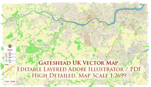
Gateshead is a town in Tyne and Wear, England, located on the southern bank of the River Tyne opposite Newcastle upon Tyne. Transportation systems in Gateshead are well-connected, and they primarily consist of road networks, public transportation, and pedestrian facilities.
- Roads and Highways:
- The A1(M) motorway runs to the west of Gateshead, providing a major north-south route.
- The A184 road connects Gateshead to Newcastle and serves as a key route in the area.
- Local roads and streets form a network facilitating travel within the town and connecting it to neighboring areas.
- Public Transportation:
- Tyne and Wear Metro: Gateshead is served by the Tyne and Wear Metro, a light rail system that connects various areas in Tyne and Wear, including Newcastle, Gateshead, Sunderland, and other nearby towns.
- Buses: The town is well-served by bus services, connecting residents to different parts of Gateshead as well as to neighboring towns and cities.
- Rail Transportation:
- The town has several railway stations, including Gateshead Interchange and MetroCentre railway station, providing rail services to Newcastle and other destinations.
- Cycling and Pedestrian Facilities:
- Efforts have been made to enhance cycling and pedestrian infrastructure, with dedicated paths and routes to promote sustainable and active modes of transportation.
- Bridges:
- Gateshead is known for several iconic bridges spanning the River Tyne, including the Gateshead Millennium Bridge, the Tyne Bridge, and the High Level Bridge. These bridges contribute to the connectivity between Gateshead and Newcastle.
- Airport:
- The nearest major airport is Newcastle International Airport, located a short distance away, providing domestic and international flights.
- Traffic Management:
- Traffic management measures, including signage, signals, and road layouts, are in place to regulate the flow of vehicles and ensure safety.


 Author: Kirill Shrayber, Ph.D. FRGS