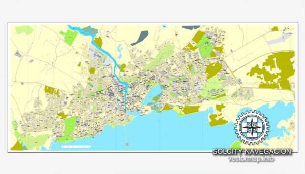
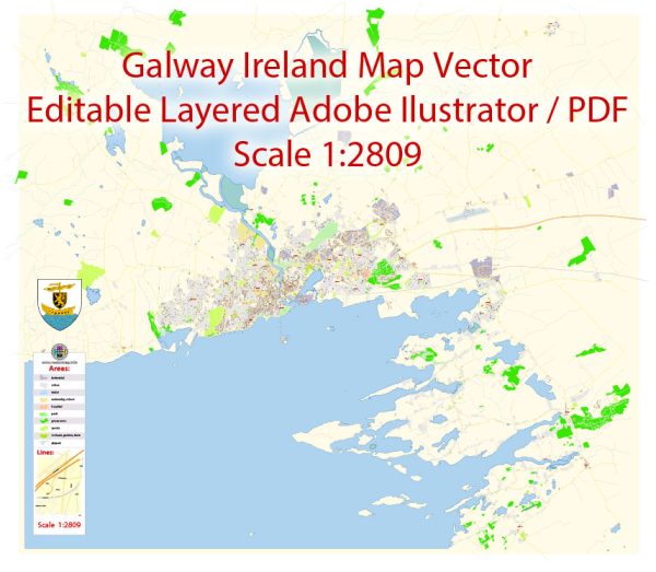
Vector Maps of the Galway : harbor city on Ireland’s west coast, sits where the River Corrib meets the Atlantic Ocean. The city’s hub is 18th-century Eyre Square, a popular meeting spot surrounded by shops and traditional pubs that often offer live Irish folk music. Nearby, stone-clad cafes, boutiques and art galleries line the winding lanes of the Latin Quarter, which retains portions of the medieval city walls.
Area: 54.2 km²
Elevation: 25 m
Download royalty free, editable vector maps of Galway Ireland in high resolution digital PDF and Adobe Illustrator format.
Map — Galway Ireland City Vector Map
A production‑ready map of Galway Ireland City Vector Map built for clear labeling and predictable output across sizes. Bridges, tunnels and ferry lines are isolated so routes remain legible after recolor. Named layers let you restyle colors, line weights and label classes without cleanup passes. Layer structure separates arterials and locals, districts, hydrography, parks and landmarks. Typography spacing is tuned for quick reading on posters, brochures and reports. District and neighborhood labels are arranged to avoid collisions around dense cores.
Saves prepress time by reducing manual fixes and keeping the visual system consistent. Use it for visitor guides, city infographics, investment decks and municipal communications. The map integrates neatly with common DTP and GIS workflows. Keeps labels readable while allowing deep customization of routes and highlights.


 Author: Kirill Shrayber, Ph.D. FRGS