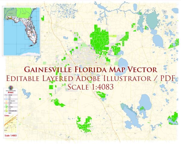
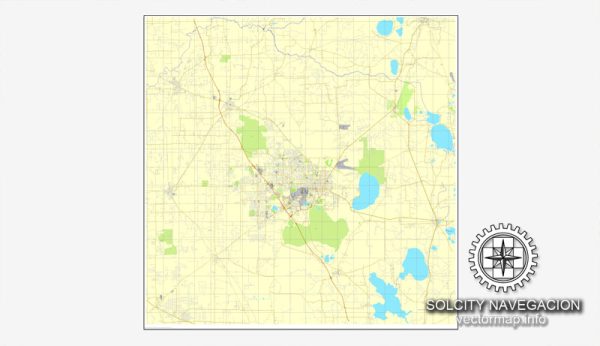
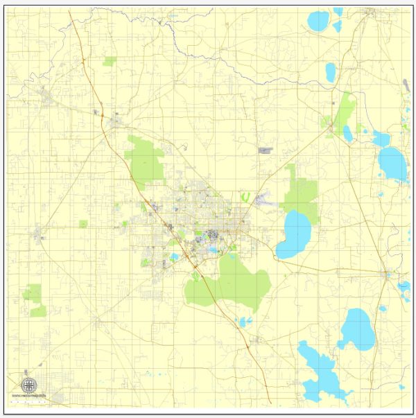
Gainesville, Florida, is a city known for its vibrant community and is home to the University of Florida. The city’s road network is designed to accommodate both the university population and the local residents. Here are some key streets and roads in Gainesville:
- University Avenue: This is a major east-west road running through the heart of Gainesville. It is home to many shops, restaurants, and businesses, and it passes near the University of Florida campus.
- Main Street: Located in downtown Gainesville, Main Street is lined with various shops, restaurants, and cultural venues. It intersects with University Avenue in the downtown area.
- 13th Street (US-441): Also known as Northwest 13th Street, this road runs north-south and is a significant corridor with various businesses and access points to the University of Florida.
- Archer Road: Running southwest from the University of Florida campus, Archer Road is a major thoroughfare with shopping centers, medical facilities, and residential areas.
- Newberry Road (SR-26): Running west from the downtown area, Newberry Road is another important route with commercial developments, residential neighborhoods, and access to the Oaks Mall.
- Northwest 39th Avenue: This road runs west from Main Street and provides access to residential areas, shopping centers, and the Santa Fe College campus.
- Williston Road (SR-121): Heading southeast from downtown, Williston Road is a major road that connects to Interstate 75 and serves both residential and commercial areas.
- Hawthorne Road (SR-20): Running east from downtown, Hawthorne Road provides access to the southeastern parts of Gainesville and connects to Hawthorne and other nearby towns.
- SW 34th Street: This road runs south from the University of Florida campus and is home to various businesses, restaurants, and residential areas.
- Gale Lemerand Drive: This road runs north-south on the eastern side of the University of Florida campus and provides access to various university facilities and sports venues.
These are just a few of the principal streets and roads in Gainesville. The city is known for its well-planned road network, making it relatively easy to navigate. Always check for the latest maps or GPS information for real-time navigation.


 Author: Kirill Shrayber, Ph.D. FRGS