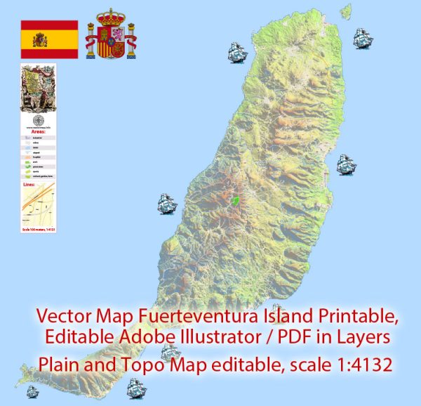
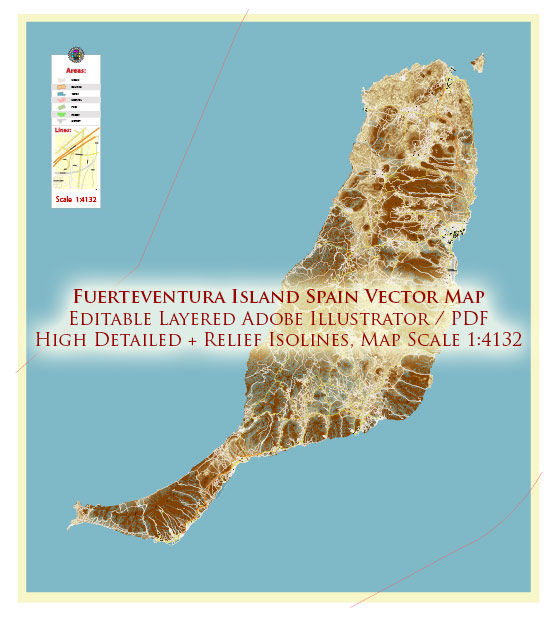
Fuerteventura, one of the Canary Islands in Spain, has a transportation system that primarily revolves around road networks, buses, and taxis. Here’s an overview of the principal transportation options on the island:
- Road Network:
- Roads and Highways: Fuerteventura has a well-developed road network that connects various towns and attractions across the island. The roads are generally in good condition, making it convenient for travelers to explore by car.
- Car Rentals: Renting a car is a popular option for tourists who want the flexibility to explore Fuerteventura at their own pace. Several car rental agencies operate at the airport and major tourist areas.
- Public Transportation:
- Buses: The island has a public bus service, operated by Tiadhe, that connects major towns and tourist destinations. The bus system is relatively efficient and affordable. Buses are a good option for those who prefer not to drive or rent a car.
- Bus Stations: Bus stations can be found in major towns like Puerto del Rosario (the capital), Corralejo, and Morro Jable. The main bus station in Puerto del Rosario is a central hub for connecting buses.
- Taxis:
- Taxi Services: Taxis are available in most towns and tourist areas. They are a convenient and relatively quick way to travel, especially if you prefer not to drive. Taxis can be hired at taxi stands or booked by phone.
- Airport:
- Fuerteventura Airport: The island is served by Fuerteventura Airport (FUE), located near Puerto del Rosario. The airport connects Fuerteventura to various international destinations and serves as a gateway for tourists visiting the island.
- Ferry Services:
- Inter-Island Ferries: Fuerteventura is well-connected to other Canary Islands by ferry services. Ferries operate between Fuerteventura and neighboring islands like Lanzarote, Gran Canaria, and Tenerife.
- Cycling and Walking:
- Cycling Paths and Walking Trails: For those interested in a more active and eco-friendly way of exploring the island, Fuerteventura offers cycling paths and walking trails, especially in more rural and natural areas.
It’s important to note that while public transportation options are available, the island’s vast and diverse landscapes make having a car advantageous for exploring remote and less accessible areas. Visitors should plan their transportation based on their preferences, itinerary, and the places they intend to visit on the island.


 Author: Kirill Shrayber, Ph.D. FRGS