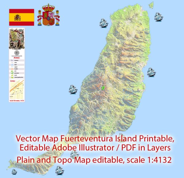
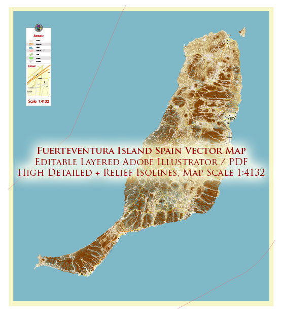
Fuerteventura, one of the Canary Islands in Spain, is known for its stunning beaches, unique landscapes, and vibrant communities. While the island doesn’t have an extensive network of highways like some larger destinations, it does have a road system that connects its various towns and attractions.
Here are some of the principal streets and roads on Fuerteventura:
- FV-1 (Carretera General del Norte): This is a major north-south road that runs along the eastern side of the island. It connects the capital city, Puerto del Rosario, with various towns and villages, including Corralejo in the north.
- FV-2 (Carretera General del Sur): Running parallel to FV-1 on the western side of the island, FV-2 connects Puerto del Rosario with the southern towns, such as Morro Jable and Costa Calma.
- FV-3 (Carretera General de la Montaña): This road cuts through the central part of the island, offering scenic views of the mountainous terrain. It connects several towns, including Antigua and Betancuria.
- FV-30: This road branches off from FV-2 and leads to La Oliva in the northern part of the island. La Oliva is known for its historical sites and charming atmosphere.
- FV-13: Connecting La Oliva with El Cotillo on the northwest coast, this road provides access to some of Fuerteventura’s beautiful beaches.
- FV-510: If you’re heading to the western coast, this road connects La Pared with Pajara, passing through some of the island’s less-developed areas.
- FV-2A: This road runs along the eastern coast, offering scenic views and access to various beaches and coastal towns.
Remember that Fuerteventura is a relatively small island, and most destinations can be reached within a couple of hours by car. It’s advisable to rent a car to explore the island at your own pace, as public transportation might be limited in some areas. Always follow local traffic regulations and be aware of any changes in road conditions.


 Author: Kirill Shrayber, Ph.D. FRGS