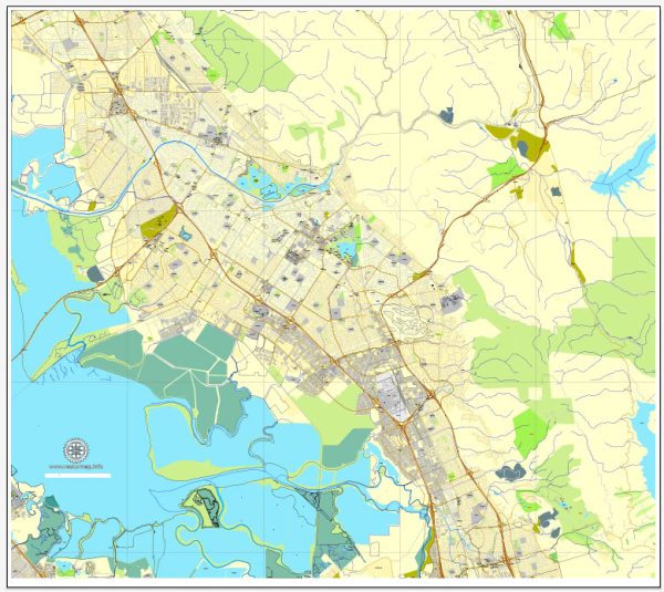
Fremont, California, is a city in Alameda County situated in the San Francisco Bay Area. It is known for its diverse community, parks, and proximity to Silicon Valley. Here are some principal streets and roads in Fremont:
- Mission Boulevard (State Route 238): Mission Boulevard is a major north-south artery that runs through the heart of Fremont. It connects with neighboring cities and provides access to shopping centers, schools, and residential areas.
- Interstate 880 (Nimitz Freeway): Interstate 880 runs through the western part of Fremont, providing a crucial north-south route in the Bay Area. It connects Fremont to other major cities like Oakland and San Jose.
- Automall Parkway: This road is known for the Fremont Auto Mall, where numerous car dealerships are located. It is a popular destination for those looking to purchase a new or used vehicle.
- Paseo Padre Parkway: Paseo Padre Parkway is a north-south road that traverses Fremont, connecting residential areas, parks, and schools. It is a key route for local commuters.
- Stevenson Boulevard: Stevenson Boulevard is an east-west road that cuts through central Fremont, connecting Mission Boulevard to Paseo Padre Parkway. It passes through residential and commercial areas.
- Washington Boulevard: This road runs east-west and serves as a major corridor in the northern part of Fremont. It provides access to parks, schools, and residential neighborhoods.
- Fremont Boulevard: Fremont Boulevard is a significant road that runs through the city, connecting the southern and northern parts. It passes through commercial areas, parks, and neighborhoods.
- Decoto Road: Decoto Road is an east-west street connecting the eastern part of Fremont to Union City. It is an important route for local traffic.
- Central Avenue: Central Avenue is a local road that runs through the central part of Fremont, providing access to residential areas and local businesses.
- Warm Springs Boulevard: This road is located in the southern part of Fremont and is known for the Warm Springs district. It has gained importance with the development of the Warm Springs/South Fremont BART station.
These principal streets and roads collectively form the backbone of Fremont’s transportation network, facilitating the movement of residents and visitors throughout the city and connecting Fremont to other parts of the Bay Area. Keep in mind that the development of infrastructure and road networks may evolve, so it’s advisable to check for any updates or changes.


 Author: Kirill Shrayber, Ph.D. FRGS