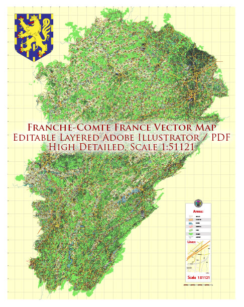
The Franche-Comté region is a historical and cultural region located in the eastern part of France. Franche-Comté has since been merged with the Bourgogne (Burgundy) region to form the new administrative region of Bourgogne-Franche-Comté. Information based on the historical Franche-Comté region.
Principal Cities:
- Besançon: Besançon is the capital city of the Franche-Comté region. It is known for its rich history, well-preserved architecture, and as the birthplace of the famous writer Victor Hugo. The city is located on the banks of the Doubs River.
- Belfort: Belfort is another significant city in the region, known for its historic fortifications, including the iconic Lion of Belfort sculpture. The city is situated near the Vosges Mountains and the Savoureuse River.
- Montbéliard: Montbéliard is an industrial and cultural center, with a strong historical connection to the local industry, particularly watchmaking. It is located on the Doubs River.
Waterways:
- Doubs River: The Doubs River is a major waterway in the region, flowing through both Switzerland and France. It passes through Besançon and other towns, providing scenic landscapes and recreational opportunities.
- Saône River: While the Saône River is more closely associated with the Bourgogne region, it does touch the northern part of the historical Franche-Comté. The city of Gray, for example, is located on the banks of the Saône.
- Savoureuse River: The Savoureuse River flows through Belfort and is a tributary of the Doubs. It has played a role in the industrial history of the region.
The landscape of Franche-Comté is characterized by rolling hills, forests, and rivers, making it a picturesque region with a strong connection to nature. Keep in mind that administrative changes may have occurred since my last update, so it’s advisable to check for any recent updates or changes in regional boundaries.


 Author: Kirill Shrayber, Ph.D. FRGS