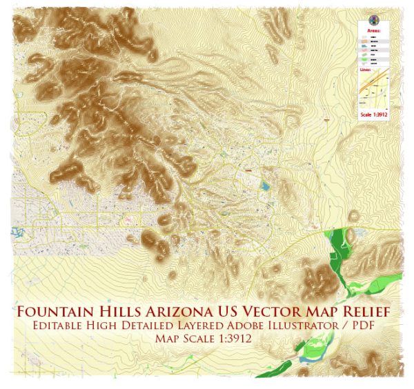
Fountain Hills is a town located in Maricopa County, Arizona, United States. It’s known for its scenic beauty, including the famous Fountain Hills Fountain, one of the world’s tallest fountains. The principal streets and roads in Fountain Hills:
- Shea Boulevard: This major east-west road runs through Fountain Hills and connects it to other parts of the Phoenix metropolitan area.
- Saguaro Boulevard: Saguaro Boulevard is a significant road in Fountain Hills that runs north-south, providing access to various neighborhoods and commercial areas.
- Fountain Hills Boulevard: This street is another important north-south thoroughfare in the town, offering access to residential areas and local businesses.
- Palisades Boulevard: Palisades Boulevard is one of the main roads in Fountain Hills, running east-west and intersecting with other key streets.
- Golden Eagle Boulevard: This road is situated in the northern part of Fountain Hills and connects with other local streets, providing access to residential areas.
- Panorama Drive: Panorama Drive is known for its scenic views and winding paths. It offers access to different parts of Fountain Hills, including residential areas and parks.
- El Lago Boulevard: Running through the town, El Lago Boulevard connects various neighborhoods and provides access to recreational areas.
- Avenue of the Fountains: This street is a central thoroughfare in Fountain Hills, known for its shops, restaurants, and proximity to the Fountain Hills Fountain.
Please note that developments and changes may have occurred since my last update, so it’s advisable to check with local sources or online maps for the most current information on streets and roads in Fountain Hills.


 Author: Kirill Shrayber, Ph.D. FRGS