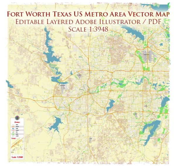
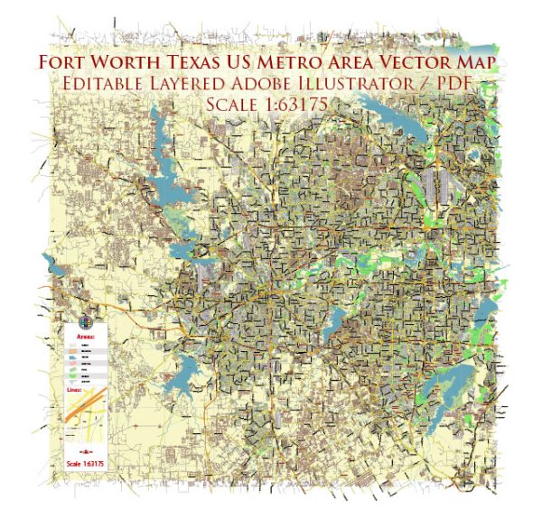
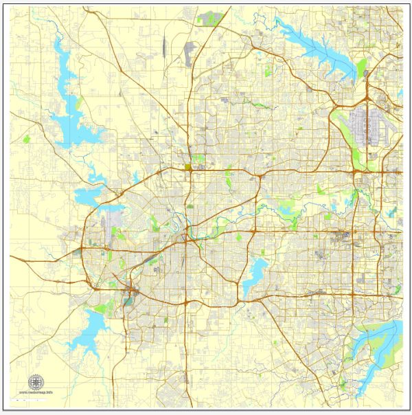
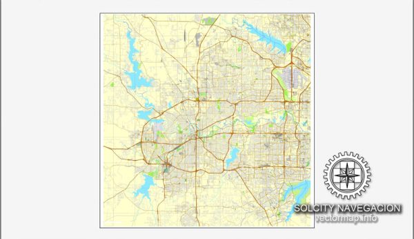
A general description of the principal transportation system in Fort Worth, Texas.
Fort Worth is a major city in the state of Texas and is part of the Dallas-Fort Worth metroplex. The transportation system in Fort Worth includes various modes of transportation, such as:
- Roads and Highways:
- Fort Worth is well-connected by a network of roads and highways, including major interstates such as I-35W, I-30, and I-820.
- The city’s road system facilitates the movement of both private and commercial vehicles.
- Public Transit:
- Fort Worth has a public transit system operated by the Fort Worth Transportation Authority (FWTA), known locally as “Trinity Metro.”
- Trinity Metro provides bus services throughout the city and surrounding areas, connecting residents to key destinations.
- Rail Transportation:
- Fort Worth is a major hub for rail transportation, with Amtrak service available at the Fort Worth Intermodal Transportation Center (ITC).
- Freight railroads also play a crucial role in transporting goods to and from the region.
- Air Transportation:
- The city is served by Dallas/Fort Worth International Airport (DFW), which is one of the largest and busiest airports in the world.
- Meacham International Airport and Fort Worth Alliance Airport also serve as general aviation and cargo airports.
- Bicycling and Pedestrian Infrastructure:
- Fort Worth has been working on improving its infrastructure for cyclists and pedestrians. There are bike lanes and trails designed to encourage alternative modes of transportation.
- Rideshare and Taxis:
- Rideshare services like Uber and Lyft operate in Fort Worth, providing additional transportation options for residents and visitors.
- Waterways:
- While not a primary mode of transportation, the Trinity River flows through Fort Worth, and there are recreational activities related to the river. However, it is not a significant transportation route for goods or passengers.
It’s essential to check for the latest updates and developments in Fort Worth’s transportation system, as infrastructure and services may have evolved since my last update. Local transportation authorities and websites can provide the most current information on routes, schedules, and any recent changes to the transportation system.


 Author: Kirill Shrayber, Ph.D. FRGS