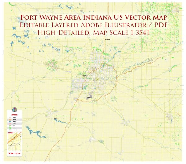
A general description of the transportation system in Fort Wayne, Indiana.
Roadways: Fort Wayne has a well-developed road network, including major highways and local roads. Interstate 69 is a significant north-south route connecting Fort Wayne to other cities in Indiana and beyond. Other important highways include US Route 24 and US Route 30.
Public Transportation: The primary public transportation provider in Fort Wayne is Citilink, which operates buses throughout the city and some surrounding areas. Citilink plays a crucial role in providing affordable and accessible transportation for residents.
Air Transportation: Fort Wayne International Airport (FWA) serves as the major air transportation hub for the region. The airport offers domestic flights to various destinations, connecting Fort Wayne to major cities.
Rail Transportation: Fort Wayne has a history of being a significant rail hub, though the prominence of rail transportation has diminished over the years. Freight railways still operate in the area, contributing to the region’s economic activity.
Bicycle and Pedestrian Infrastructure: Efforts have been made to enhance bicycle and pedestrian infrastructure in Fort Wayne. The city has developed trails and pathways, such as the Rivergreenway, to promote alternative modes of transportation and recreation.
Port and Water Transportation: While Fort Wayne is not directly located on a major waterway, it has access to the Maumee River. This waterway historically played a role in the transportation of goods, but its significance has diminished compared to road and air transport.
Future Developments: Cities often undergo changes and improvements to their transportation systems. Fort Wayne may have undertaken new projects or initiatives since my last update, such as road expansions, public transit improvements, or the development of new infrastructure.
For the most current and detailed information, it’s recommended to check with local government transportation agencies, city planning departments, or official Fort Wayne websites. Additionally, local news sources may provide updates on transportation projects and developments in the area.


 Author: Kirill Shrayber, Ph.D. FRGS