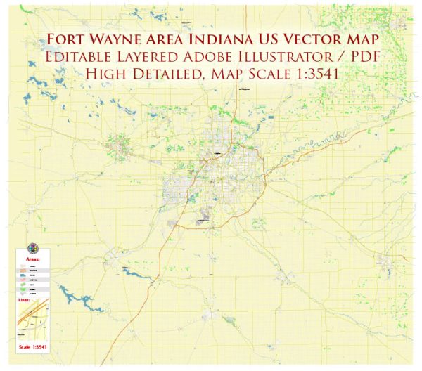
Fort Wayne, Indiana, is a city with a well-defined road network, including major streets and highways. Here are some principal streets and roads in Fort Wayne:
- Interstate 69 (I-69): This major highway runs north-south and is a crucial transportation route in the area.
- Interstate 469 (I-469): Forming a partial loop around the eastern side of Fort Wayne, I-469 connects with I-69 at both ends.
- U.S. Route 24 (US 24): This highway runs east-west, passing through Fort Wayne and providing a key connection to other parts of Indiana.
- U.S. Route 30 (US 30): Running east-west, US 30 is a major route that passes through the southern part of Fort Wayne.
- State Road 1 (SR 1): This north-south state highway passes through the eastern side of Fort Wayne.
- Coliseum Boulevard: Running on the northeast side of the city, Coliseum Boulevard connects I-69 and US 30, providing access to the Allen County War Memorial Coliseum and other facilities.
- Lima Road (SR 3): Lima Road runs north-south and is an important commercial corridor with various businesses and shopping centers.
- Jefferson Boulevard: Located in the heart of Fort Wayne, Jefferson Boulevard is a major east-west thoroughfare with a mix of commercial, residential, and institutional properties.
- Clinton Street: Running north-south, Clinton Street is a central street in downtown Fort Wayne, passing through the heart of the city.
- Anthony Boulevard: This east-west street is known for passing through several neighborhoods and connecting with the downtown area.
- Stellhorn Road: Located on the northeast side, Stellhorn Road is a major east-west road with shopping centers and residential areas.
- Maplecrest Road: Running north-south on the east side, Maplecrest Road is a significant arterial road with various commercial establishments.
These are just some of the principal streets and roads in Fort Wayne. The city has a grid-like road layout, and the street numbering system is generally logical and easy to navigate. However, it’s advisable to use updated maps or navigation apps for real-time information and directions.


 Author: Kirill Shrayber, Ph.D. FRGS