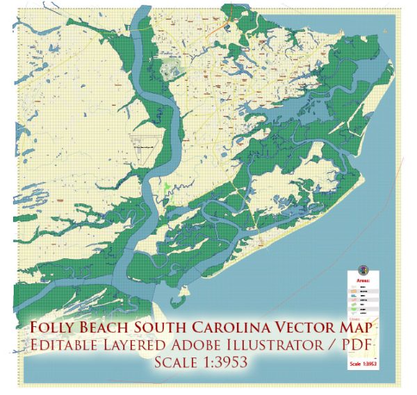
Folly Beach is a barrier island located near Charleston, South Carolina, USA. Here’s a general description of the principal transportation systems in the Folly Beach area:
- Roads and Bridges:
- Folly Beach is accessible by road, primarily via Folly Road (SC 171), which connects the island to James Island and downtown Charleston.
- There are bridges connecting Folly Beach to James Island, providing a direct route for residents and visitors.
- Public Transportation:
- Public transportation options are limited on Folly Beach itself. However, the city of Charleston and its surrounding areas offer various bus services provided by CARTA (Charleston Area Regional Transportation Authority).
- Car Rentals and Taxis:
- Car rentals and taxi services are available in Charleston and may be used for transportation to and from Folly Beach.
- Bicycles and Walking:
- Folly Beach is a relatively small island, and many residents and visitors prefer walking or biking for local transportation. There are sidewalks and bike paths in some areas.
- Boating and Water Transportation:
- Given Folly Beach’s coastal location, water transportation is significant. Boating and water taxis may be used for travel between Folly Beach and nearby islands or the mainland.
- Parking:
- Parking is available on Folly Beach, but during peak seasons it may be limited. There are public parking lots, on-street parking, and parking at beach access points.
- Emergency Services:
- Emergency services, including police, fire, and medical assistance, are available on Folly Beach to ensure the safety and well-being of residents and visitors.
Please keep in mind that the transportation infrastructure and services may have evolved, and it’s advisable to check with local authorities or updated sources for the latest information on transportation in Folly Beach, South Carolina.


 Author: Kirill Shrayber, Ph.D. FRGS