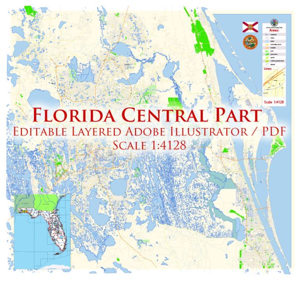
Central Florida, including the city of Orlando, is known for its extensive road network, major highways, and various neighborhoods. Here’s a brief description of some principal streets and roads in the Central Florida and Orlando area:
- Interstate 4 (I-4):
- Description: I-4 is a major east-west interstate highway that runs through Central Florida, connecting Tampa on the west coast to Daytona Beach on the east coast. It passes through downtown Orlando and is a crucial route for both local and interstate travel.
- Florida’s Turnpike:
- Description: This toll highway runs north-south and provides a convenient route for travelers. It intersects with I-4, offering a direct link between Orlando and other parts of the state.
- State Road 408 (East-West Expressway):
- Description: SR 408 is a toll road that spans east to west, providing a quick route through Orlando. It intersects with I-4 and is commonly used by commuters to navigate the city.
- State Road 417 (Central Florida GreeneWay):
- Description: SR 417 is a tolled beltway that encircles much of Orlando, connecting the eastern and western suburbs. It offers a convenient route for bypassing downtown traffic.
- State Road 528 (Beachline Expressway):
- Description: SR 528 is a toll road that connects Orlando to the east coast, including Cape Canaveral and Cocoa Beach. It’s a key route for those traveling to and from Orlando International Airport.
- International Drive (I-Drive):
- Description: Known for its tourist attractions, shopping, and dining options, International Drive is a major north-south thoroughfare in Orlando. It is home to various entertainment complexes, theme parks, and convention centers.
- Colonial Drive (State Road 50):
- Description: Colonial Drive is an east-west arterial road that passes through downtown Orlando. It is a significant commercial and residential corridor with various shops, restaurants, and cultural institutions.
- Orange Avenue:
- Description: Orange Avenue is a primary north-south street running through downtown Orlando. It features government buildings, businesses, and entertainment venues.
- John Young Parkway:
- Description: This north-south roadway is an important corridor, passing through various neighborhoods and connecting with major highways like SR 408 and I-4.
- Conroy Road:
- Description: Conroy Road is an east-west road connecting International Drive to areas west of downtown Orlando. It provides access to shopping centers and residential neighborhoods.
It’s worth noting that Orlando and its surroundings are continually growing, and new developments may impact the road network. Additionally, road conditions and traffic patterns can vary, so it’s advisable to check for real-time updates when planning your route.


 Author: Kirill Shrayber, Ph.D.