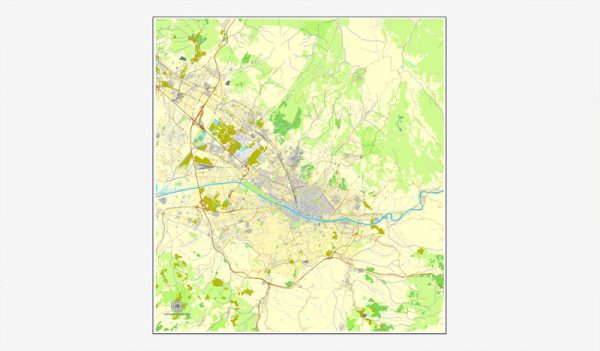
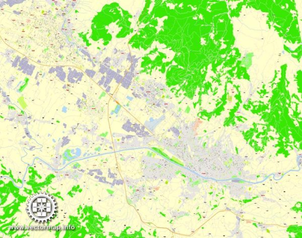
Florence, the capital city of the Tuscany region in Italy, is known for its rich history, art, and architecture. The city is characterized by narrow winding streets, historic buildings, and iconic landmarks. Here are some of the principal streets and roads in Florence:
- Via dei Calzaiuoli: This is one of the main shopping streets in Florence, connecting Piazza del Duomo to Piazza della Signoria. It is lined with shops, boutiques, and cafes.
- Via de’ Tornabuoni: Known for its high-end fashion boutiques and luxury stores, this elegant street is considered one of the most exclusive shopping destinations in Florence.
- Piazza della Repubblica: While technically a square, the surrounding area has several important streets. It’s a central hub with many shops, cafes, and entertainment venues.
- Via Maggio: This street is famous for its antique shops and art dealers. It runs along the Arno River and leads to the Pitti Palace.
- Via del Corso: Running parallel to the Arno River, this street is known for its bustling atmosphere, shops, and restaurants. It connects Piazza della Repubblica to Piazza Pitti.
- Borgo San Lorenzo: Leading from Piazza del Duomo, this street is part of the historic center and is lined with shops and eateries. It eventually reaches Piazza San Lorenzo.
- Via de’ Cerretani: Connecting the Santa Maria Novella train station to the Cathedral of Santa Maria del Fiore, this street is important for both locals and tourists.
- Lungarno degli Acciaiuoli: This road runs along the Arno River, offering picturesque views of the city and landmarks like the Ponte Vecchio.
- Via Ghibellina: Starting at Piazza Santa Croce, this street heads east, passing through the lively Santa Croce neighborhood with its bars, restaurants, and artisan shops.
- Viale dei Colli: This avenue winds through the hills surrounding Florence, offering panoramic views of the city. It’s a popular route for walking or driving.
- Via de’ Benci: Located in the Santa Croce area, this street is known for its nightlife, with numerous bars and clubs.
These are just a few examples, and Florence is a city best explored on foot to truly appreciate its charm and discover hidden gems along its narrow streets. The historic center is a UNESCO World Heritage site, and every corner seems to have a story to tell.


 Author: Kirill Shrayber, Ph.D. FRGS