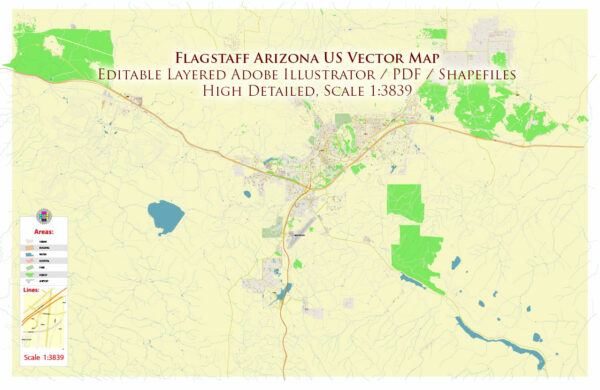
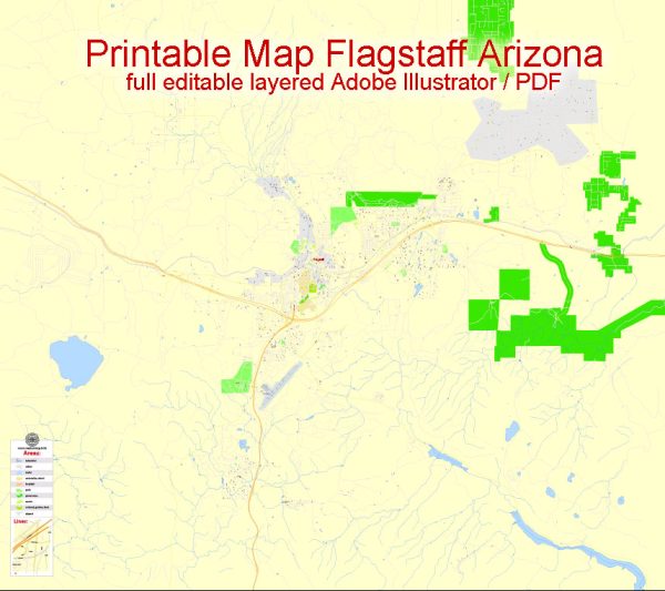
Flagstaff, Arizona, has a diverse transportation system that includes various modes of transportation to serve its residents and visitors. Here’s an overview of the principal transportation systems in Flagstaff:
- Roadways:
- Flagstaff is well-connected by a network of roads, including major highways such as Interstate 40 and Interstate 17.
- Historic Route 66 passes through Flagstaff, adding to its significance and charm.
- Public Transit:
- The Mountain Line is Flagstaff’s public transit system, providing bus services throughout the city. It serves both residents and tourists, connecting various neighborhoods, shopping areas, and Northern Arizona University (NAU) campuses.
- Air Transportation:
- Flagstaff Pulliam Airport (FLG) serves as the primary air transportation hub. It offers commercial flights, general aviation services, and facilities for private aircraft.
- Rail Transportation:
- While there is no passenger rail service, Flagstaff has a historic train station, the Flagstaff Amtrak station, which is a stop on the Southwest Chief route.
- Biking and Walking:
- Flagstaff is a pedestrian and bike-friendly city. It has a network of sidewalks, bike lanes, and trails to encourage alternative modes of transportation.
- Car Rentals and Taxis:
- Car rental services are available for those who need temporary transportation. Taxis and rideshare services also operate in the area.
- University Transit:
- Northern Arizona University (NAU) operates its transit system to facilitate movement within the campus and surrounding areas.
- Carpooling and Vanpooling:
- Carpools and vanpools are encouraged to reduce individual vehicle use and promote a more sustainable transportation system.
- Parking Facilities:
- Flagstaff provides various parking facilities, including street parking, parking lots, and garages, to accommodate the needs of residents and visitors.
- Snow Removal and Winter Preparedness:
- Given Flagstaff’s location at a higher elevation, snow removal and winter road maintenance are crucial for ensuring safe transportation during the winter months.
It’s important to note that transportation infrastructure and services may evolve, and new developments could have occurred since my last update. For the most current and detailed information, it’s recommended to check with local transportation authorities or the City of Flagstaff for the latest updates on the transportation system.


 Author: Kirill Shrayber, Ph.D. FRGS