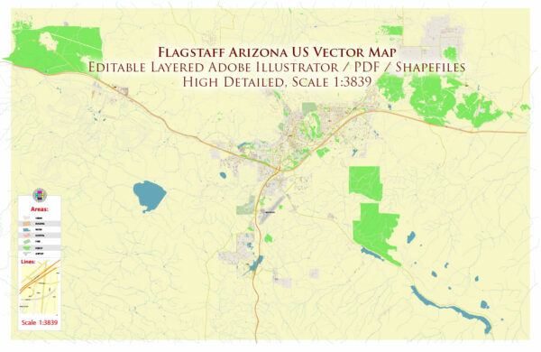
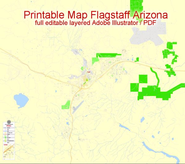
Flagstaff, Arizona, is a city located in northern Arizona, known for its proximity to the Grand Canyon and its elevation of around 7,000 feet (2,134 meters). Here are some principal streets and roads in Flagstaff:
- Route 66 (Historic Route 66): This iconic highway runs through Flagstaff, connecting the city with various landmarks, businesses, and attractions. It is a part of the historic U.S. Route 66.
- Interstate 40 (I-40): This major interstate highway passes through Flagstaff, providing east-west connectivity across the United States.
- Milton Road: One of the main north-south routes in Flagstaff, running parallel to the I-17. It connects the downtown area with neighborhoods and commercial districts.
- Humphreys Street: Located in the downtown area, Humphreys Street is one of the primary north-south streets. It is home to shops, restaurants, and local businesses.
- San Francisco Street: Another key street in downtown Flagstaff, San Francisco Street is known for its historic architecture, shops, and cultural attractions.
- Beulah Boulevard: Running through the eastern part of Flagstaff, Beulah Boulevard connects residential areas and provides access to schools and parks.
- Lockett Road: This road is situated in the eastern part of Flagstaff and provides access to residential neighborhoods and some open spaces.
- University Avenue: Located near Northern Arizona University, University Avenue is an important road for accessing the campus and surrounding areas.
- Leroux Street: Running through the heart of downtown Flagstaff, Leroux Street is lined with shops, restaurants, and historic buildings.
- Fourth Street: A major east-west thoroughfare, Fourth Street connects the downtown area with residential neighborhoods and commercial districts.
These are just some of the principal streets and roads in Flagstaff. Keep in mind that the city’s layout and road network may evolve, so it’s advisable to check for the latest maps or navigation apps for the most accurate information.


 Author: Kirill Shrayber, Ph.D. FRGS