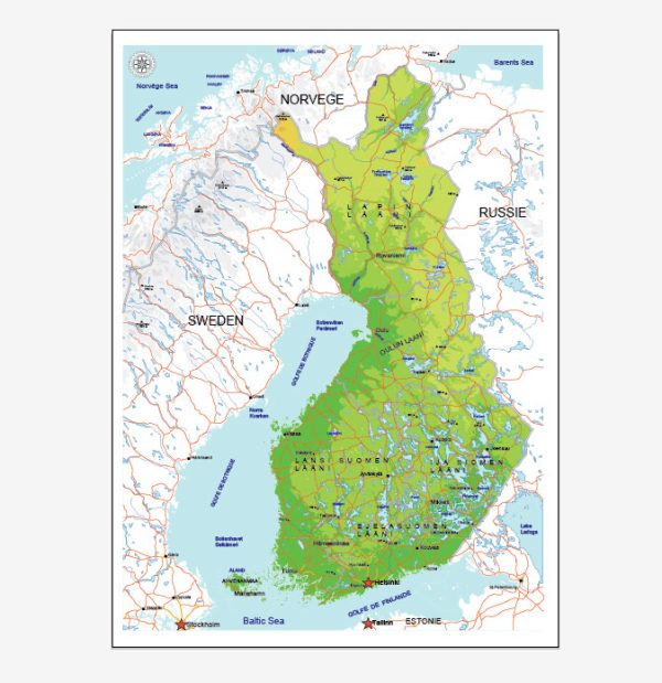
Finland is known for its numerous lakes and rivers, contributing to its rich natural beauty. While Finland doesn’t have any exceptionally long or major rivers compared to some other countries, it has a network of waterways that play a crucial role in the country’s geography and environment. Here are some notable rivers in Finland:
- Kemijoki: The Kemijoki is the longest river in Finland, flowing through the northern part of the country. It originates in the fells of Lapland and travels southward, eventually emptying into the Gulf of Bothnia. The Kemijoki is significant for its hydroelectric power production and has several dams along its course.
- Oulujoki: This river is one of the major watercourses in Finland, flowing through the central and northern parts of the country. It begins in the Oulujärvi lake and travels westward, finally reaching the Gulf of Bothnia. Like the Kemijoki, the Oulujoki is also utilized for hydroelectric power generation.
- Vuoksi River: Located in southeastern Finland, the Vuoksi River flows from Lake Saimaa to Lake Ladoga in Russia. The river is known for its scenic beauty and is an important watercourse in the region.
- Kitinen River: Another significant river in Lapland, the Kitinen is a tributary of the Kemijoki. It flows through the wilderness of northern Finland, offering picturesque landscapes.
- Kokemäenjoki: This river is one of the largest in terms of discharge in Finland. It flows through the southwestern part of the country and eventually reaches the Gulf of Bothnia. The Kokemäenjoki basin is an important agricultural region.
- Porvoonjoki: Flowing through southern Finland, the Porvoonjoki river passes through the town of Porvoo and eventually reaches the Gulf of Finland. It is relatively short but culturally significant.
It’s important to note that Finland’s landscape is characterized by thousands of lakes, and many of its rivers connect these lakes, forming an intricate network of waterways. The rivers and lakes not only contribute to the country’s natural beauty but also play a crucial role in the ecology, economy, and recreational activities of the region.


 Author: Kirill Shrayber, Ph.D. FRGS