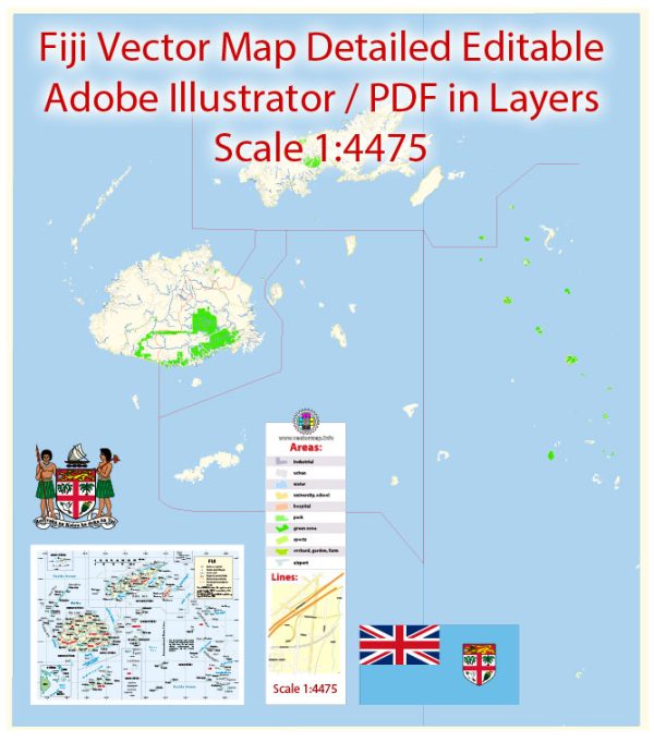
Fiji’s principal transportation system includes a combination of air, land, and sea transportation. Here is a general overview:
- Air Transportation:
- Nadi International Airport (NAN): Located on the main island of Viti Levu, Nadi International Airport is Fiji’s main international gateway. It serves as a hub for both international and domestic flights.
- Nausori International Airport (SUV): Located near Suva, the capital city, Nausori International Airport primarily handles domestic flights.
- Land Transportation:
- Roads: Fiji has a network of roads on the main islands, with the majority of the population residing on Viti Levu. The road infrastructure includes paved and unpaved roads. Suva and Nadi are connected by the Queens Road, while Suva and Lautoka are connected by the Kings Road.
- Public Transportation: Buses and minibusses operate on the main islands, providing a means of public transportation. Taxis are also available, especially in urban areas.
- Sea Transportation:
- Ports: Suva and Lautoka are the main ports in Fiji. They handle cargo ships and ferries. Suva is the larger of the two and serves as the principal port for the capital city.
- Ferries: Inter-island ferries connect the main islands, facilitating transportation for both passengers and cargo. Some popular ferry routes include those between Viti Levu and Vanua Levu.
- Domestic Air Services:
- Domestic Flights: In addition to international flights, there are domestic airlines that operate within Fiji, connecting the main islands and smaller islands. These flights are essential for transportation between islands, especially those with limited road infrastructure.
- Transport Challenges:
- Geographical Constraints: Fiji’s transportation system faces challenges due to its geography, with numerous islands scattered across the Pacific. This can make travel between islands more complex and reliant on air and sea transportation.
- Weather Impacts: Tropical weather conditions, including cyclones, can impact transportation, particularly during the cyclone season.


 Author: Kirill Shrayber, Ph.D.