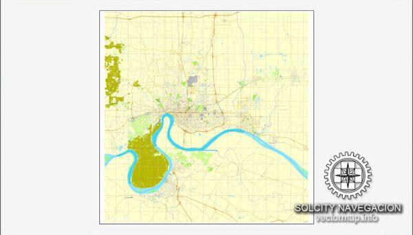
A general overview of some principal streets and roads in Evansville, Indiana. Here are some key streets and roads in Evansville:
- Main Street: This is one of the primary east-west streets in downtown Evansville, hosting various businesses, shops, and restaurants.
- Riverside Drive: Running along the Ohio River, Riverside Drive offers scenic views and recreational areas. It’s a popular spot for walking, jogging, and events.
- Lloyd Expressway (Highway 62): This is a major east-west route that cuts through the city, providing access to different neighborhoods and commercial areas.
- Green River Road: Running north-south, Green River Road is a significant thoroughfare with various shopping centers, restaurants, and residential neighborhoods.
- US Route 41 (North-South Corridor): This major highway runs north-south through Evansville, connecting the city to other parts of Indiana and neighboring states.
- Highway 66 (Morgan Avenue): This east-west route provides access to the eastern parts of Evansville and connects with nearby communities.
- Burkhardt Road: Running through the eastern part of the city, Burkhardt Road is a key artery with shopping centers, schools, and residential areas.
- St. Joseph Avenue: This north-south road traverses the city and is home to various businesses, schools, and neighborhoods.
- Oak Hill Road: Located in the western part of Evansville, Oak Hill Road serves as a connector between the Lloyd Expressway and the University Parkway area.
- University Parkway: This road runs near the University of Southern Indiana and provides access to educational facilities and residential neighborhoods.
It’s important to note that Evansville’s roadways and infrastructure may have changed, and new developments might have occurred since my last update. For the most accurate and current information, you may want to refer to local maps, navigation apps, or the Evansville city government’s official resources.


 Author: Kirill Shrayber, Ph.D. FRGS