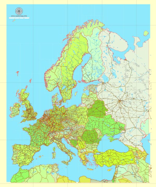
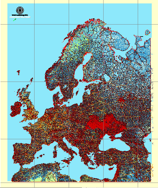
Creating a comprehensive list of transcontinental ground transportation routes across Europe can be challenging due to the vast network of roads, highways, and transportation options available. Additionally, the availability of specific routes may change over time due to construction, maintenance, or other factors. Please note that you should verify the current status and routes through up-to-date sources.
- E-road Network:
- The E-road network is a series of main roads in Europe, identified by the letter ‘E’ followed by a number. Some key transcontinental routes include the E4, E6, E8, E10, and E30.
- Trans-European Transport Networks (TEN-T):
- The European Union’s TEN-T program aims to improve the connectivity of transportation networks. It includes various modes of transportation, such as road, rail, and maritime. The road network is crucial for ground transportation.
- International Highways:
- Several international highways connect different countries in Europe. For example, the A1 connects Paris in France with Moscow in Russia, passing through multiple countries in between.
- Key Routes:
- The European road network includes key routes connecting major cities and economic centers. Examples include the route from Lisbon to Moscow or from London to Athens.
- Baltic-Adriatic Corridor:
- This is one of the core network corridors of the TEN-T, connecting the Baltic Sea with the Adriatic Sea. It passes through multiple countries in Central and Eastern Europe.
- North Sea-Baltic Corridor:
- Another TEN-T corridor, this route connects the North Sea with the Baltic Sea, passing through countries like Germany, Poland, and the Baltic states.
- Mediterranean Corridor:
- Connecting the Iberian Peninsula with the Hungarian-Ukrainian border, the Mediterranean Corridor is part of the TEN-T network.
- Rhine-Alpine Corridor:
- This corridor connects the seaports of Rotterdam and Antwerp with the ports of the North Adriatic, passing through Germany, Switzerland, and Italy.
- Danube River:
- While not a ground road route, the Danube River is a major waterway used for transportation. It connects multiple countries in Eastern and Southeastern Europe.
To plan a specific transcontinental ground transportation route, it’s recommended to use online mapping tools, GPS navigation systems, or consult with transportation authorities for the most accurate and up-to-date information.


 Author: Kirill Shrayber, Ph.D.