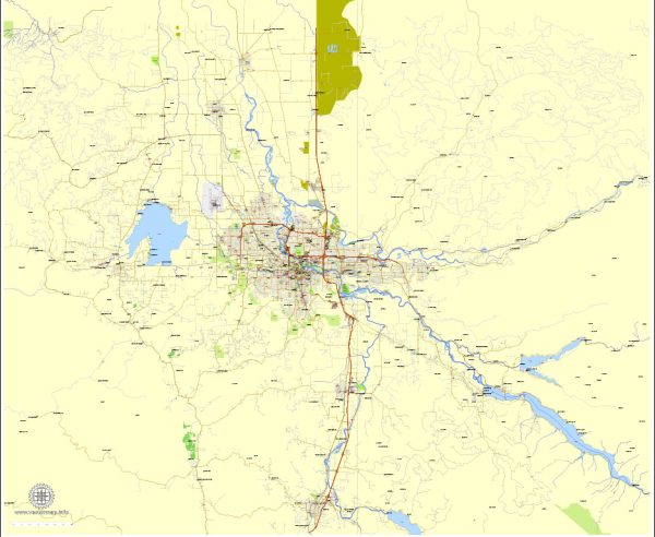
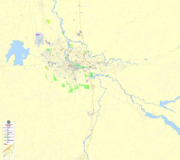
General information about Eugene and Springfield, Oregon, including details about water resources and bridges.
Eugene, Oregon:
- Water Resources:
- The Willamette River flows through Eugene, providing a significant water resource for the city.
- Fern Ridge Reservoir, located west of Eugene, is a large reservoir used for water supply, recreation, and flood control.
- Bridges:
- Eugene has several bridges spanning the Willamette River, connecting different parts of the city. Some notable bridges include the Ferry Street Bridge, Washington/Jefferson Street Bridge, and the DeFazio Bicycle Bridge.
- The Ferry Street Bridge is a prominent structure and a key transportation route.
Springfield, Oregon:
- Water Resources:
- Springfield is also situated along the Willamette River, and it benefits from the same water resources as Eugene.
- The McKenzie River, a tributary of the Willamette, is another important water source for the region.
- Bridges:
- Springfield has its share of bridges that contribute to transportation and connectivity. The Pioneer Memorial Bridge is a notable structure that spans the Willamette River, connecting Springfield and Eugene.
- The Hayden Bridge, located a bit upstream, is another key river crossing in the area.
Recent Developments:
- Both cities may have undergone changes or implemented new infrastructure projects since my last update. It’s advisable to check the latest local news sources or official city websites for the most recent information.
For the most accurate and up-to-date information, consider contacting the city offices, public works departments, or local authorities in Eugene and Springfield, Oregon. They can provide you with the latest details on water resources, infrastructure projects, and any recent developments regarding bridges in the area.


 Author: Kirill Shrayber, Ph.D. FRGS