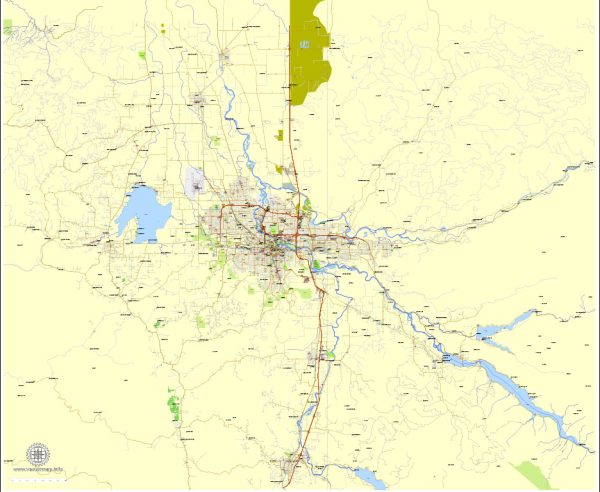
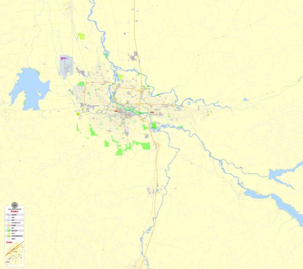
Eugene and Springfield are neighboring cities in the state of Oregon, United States. A general overview of their transportation systems, it’s important to note that specific details may have changed. For the most up-to-date information, you may check local government websites or transportation authorities.
Eugene, Oregon:
- Public Transportation:
- Lane Transit District (LTD): Eugene’s public transportation is primarily served by Lane Transit District, which operates buses throughout the city and surrounding areas.
- Roadways:
- Eugene is well-connected by a network of roads and highways, including Interstate 5, which runs north-south through the city.
- Bicycling:
- Eugene is known for being bike-friendly, with an extensive network of bike lanes and paths. The city actively promotes cycling as a mode of transportation.
- Airport:
- Eugene Airport (Mahlon Sweet Field) provides air travel services to the region.
Springfield, Oregon:
- Public Transportation:
- Springfield is also served by Lane Transit District (LTD), providing bus services for public transportation.
- Roadways:
- Springfield is located adjacent to Eugene and is accessible via Interstate 5. Main roads and highways connect Springfield to other parts of the state.
- Bicycling:
- Like Eugene, Springfield has made efforts to accommodate cyclists with bike lanes and paths.
- Airport:
- Springfield shares Eugene Airport (Mahlon Sweet Field) for air travel services.
Shared Regional Transportation:
- EmX Bus Rapid Transit:
- Both Eugene and Springfield are served by the EmX Bus Rapid Transit system, a service provided by LTD. It offers faster and more efficient transit along specific routes.
- Amtrak:
- Amtrak’s Coast Starlight route connects Eugene with other cities along the West Coast.
- Greyhound:
- Intercity bus services, including Greyhound, provide connections to other cities and states.
- Cycling Infrastructure:
- The region is known for its commitment to cycling, with numerous bike paths and initiatives to promote sustainable transportation.
Please verify this information with local sources or the respective city’s transportation department for the most current details.


 Author: Kirill Shrayber, Ph.D.