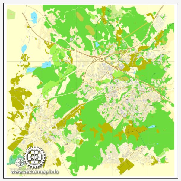
Espoo is the second-largest city in Finland and part of the Greater Helsinki metropolitan area. It is known for its diverse landscapes, combining urban areas with nature. The city is well-connected with a network of streets and roads. Here are some principal streets and roads in Espoo:
- Länsiväylä (Finnish Highway 51): This major highway connects Espoo to Helsinki and other nearby cities. It is a key route for commuters traveling between the two cities.
- Itäväylä (Finnish Highway 50): Another important highway that runs through Espoo, connecting it to eastern parts of the country.
- Kehä I (Ring I): This is part of the Kehä (Ring) road system that encircles the Helsinki metropolitan area. Kehä I connects various suburbs, including Espoo, and serves as a significant traffic route.
- Länsiväyläntie: A major road that runs parallel to Länsiväylä, providing access to various neighborhoods and commercial areas in Espoo.
- Tapiolantie: Located in the heart of Espoo, Tapiolantie is a central road that passes through the district of Tapiola, known for its modern architecture and cultural attractions.
- Turunväylä (Finnish Highway 1): This highway connects Espoo to Turku, a major city on the southwest coast of Finland. It is an important route for those traveling between the two cities.
- Haukilahti Promenade: This scenic road runs along the coastline in the Haukilahti area, offering beautiful views of the Gulf of Finland.
- Piispansilta: A bridge and road that connect southern and northern parts of Espoo, spanning the Espoo River. It is an essential route for local transportation.
- Vanha Nurmijärventie: This road connects northern Espoo to neighboring areas and is part of the road network serving the northern suburbs.
- Kirkkojärventie: Running through the central parts of Espoo, Kirkkojärventie provides access to residential areas and local amenities.
These are just a few examples, and Espoo has an extensive network of streets and roads that facilitate transportation within the city and its surroundings. Additionally, Espoo’s well-planned infrastructure includes cycling paths and public transportation options, contributing to the overall accessibility and livability of the city. Keep in mind that road names and infrastructure may evolve, so it’s a good idea to check for the most up-to-date information from local sources or navigation services.


 Author: Kirill Shrayber, Ph.D.