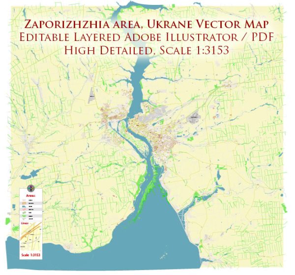
A general overview of Zaporizhzhia, Ukraine, including information on water, railroads, and air transportation.
Water Transportation:
Zaporizhzhia is situated on the Dnieper River, one of the major rivers in Ukraine. The city has a significant river port that facilitates transportation of goods and passengers. The Dnieper River serves as a vital waterway for shipping and connects the city to other regions within Ukraine and beyond.
Rail Transportation:
Zaporizhzhia has a well-developed railway infrastructure, with the Zaporizhzhia I railway station being a key transportation hub. The railway network connects Zaporizhzhia to various cities within Ukraine and neighboring countries. Rail transportation plays a crucial role in the movement of goods and people, contributing to the overall connectivity of the region.
Air Transportation:
Zaporizhzhia International Airport (OZH) serves as the primary airport for the city. The airport provides domestic and international flights, connecting Zaporizhzhia to major cities in Ukraine and beyond. Airlines operating at Zaporizhzhia International Airport offer services for both passengers and cargo, contributing to the economic and social development of the region.
It’s important to check with local authorities or recent sources for any updates on transportation infrastructure, as changes may have occurred since my last update. Additionally, considering the geopolitical situation and potential conflicts, there could be impacts on transportation systems in the region.


 Author: Kirill Shrayber, Ph.D. FRGS