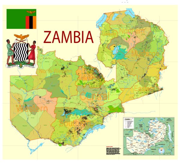
A general overview of Zambia’s water, railroad, and air transportation infrastructure.
- Water Transportation: Zambia is a landlocked country in Southern Africa, which means it doesn’t have direct access to the sea. The major waterway in Zambia is the Zambezi River, which plays a crucial role in transportation. The country has a few navigable rivers and lakes, and water transport is mainly utilized for ferry services and cargo transportation. The government has worked on improving inland water transport, but it is not as developed as other modes of transportation.
- Rail Transportation: Rail transportation is a significant mode of freight and passenger transport in Zambia. The Zambia Railways network connects various parts of the country, facilitating the movement of goods and people. The TAZARA Railway, a joint project with Tanzania, also links Zambia to the Tanzanian port of Dar es Salaam. The rail system has been undergoing efforts for modernization and expansion to enhance efficiency and connectivity.
- Air Transportation: Zambia has a network of airports, with Kenneth Kaunda International Airport in Lusaka being the major international gateway. Several domestic airports and airstrips connect different regions of the country. The national airline is Zambia Airways, and international airlines also operate flights to and from Zambia. Air transport is vital for both domestic and international travel, playing a crucial role in connecting Zambia to the global economy.
It’s essential to check for the latest information from reliable sources or official government channels for the most current status of Zambia’s transportation infrastructure, as developments may have occurred since my last update.


 Author: Kirill Shrayber, Ph.D. FRGS