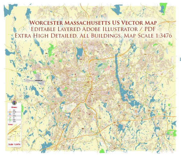
Worcester, Massachusetts, is a city with a rich history and a diverse range of cultural and urban amenities. Here’s an overview of some key aspects:
Cultural Amenities:
- Museums and Art Galleries:
- Worcester Art Museum: Home to an impressive collection of over 38,000 objects spanning over 5,000 years.
- The Worcester Historical Museum: Showcasing the history of Worcester and its people.
- Performing Arts:
- The Hanover Theatre for the Performing Arts: A historic venue hosting Broadway shows, concerts, and other live performances.
- Mechanics Hall: Renowned for its superb acoustics, hosting classical and jazz concerts.
- Cultural Festivals:
- Worcester Music Festival: An annual event featuring local and regional musicians.
- Worcester Film Festival: Celebrating independent and international films.
- Educational Institutions:
- Home to several colleges and universities, including Worcester Polytechnic Institute (WPI) and Clark University, contributing to a vibrant academic and cultural environment.
Urban Amenities:
- Parks and Recreation:
- Green Hill Park: A large park with walking trails, a golf course, and a zoo.
- Elm Park: One of the oldest public parks in the U.S., offering a picturesque setting for relaxation.
- Dining and Culinary Scene:
- Worcester boasts a diverse culinary scene with a range of restaurants offering various cuisines, from local favorites to international options.
- Sports and Entertainment:
- DCU Center: A multi-purpose arena hosting concerts, sports events, and other entertainment.
- Polar Park: Home to the Worcester Red Sox, the Triple-A affiliate of the Boston Red Sox.
- Shopping and Retail:
- Shrewsbury Street: Known for its eclectic mix of shops, restaurants, and bars.
- The Shoppes at Blackstone Valley: A shopping center with a variety of retail options.
- Public Transportation:
- Worcester is well-connected with public transportation, including the Worcester Regional Transit Authority (WRTA) buses and the Worcester Union Station for commuter rail services.
- Historic Architecture:
- Downtown Worcester features historic architecture, including the Worcester City Hall and Union Station.
- Community Events:
- Regular community events, farmers’ markets, and cultural celebrations contribute to the vibrant community spirit.
Overall, Worcester, Massachusetts, offers a mix of cultural richness, educational opportunities, and urban amenities, making it a dynamic and attractive city for residents and visitors alike.


 Author: Kirill Shrayber, Ph.D. FRGS