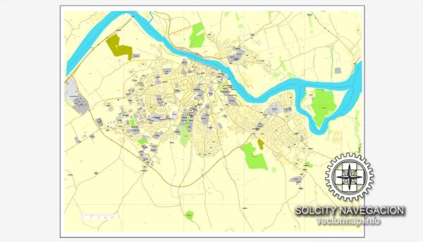
A general overview of cultural and urban amenities in Waterford, Ireland. Keep in mind that there might have been changes or developments since then.
Waterford is a historic city located in the southeast of Ireland, and it holds the distinction of being the country’s oldest city. Here are some aspects of Waterford’s cultural and urban amenities:
- Waterford Crystal: Waterford is internationally renowned for its crystal, and the Waterford Crystal factory is a major attraction. Visitors can take guided tours to see the craftsmanship involved in creating these exquisite pieces and explore the history of the industry in the city.
- Waterford Viking Triangle: This is the historic heart of Waterford, where you can find museums, galleries, and historic sites. The Bishop’s Palace, Reginald’s Tower, and the Medieval Museum are key attractions in this area.
- Theatre and Arts: Waterford has a vibrant arts scene with various theaters and galleries. Garter Lane Arts Centre is a popular venue for visual arts, theater, and film.
- Waterford Greenway: For those who enjoy outdoor activities, the Waterford Greenway is a 46-kilometer cycling and walking trail that runs along an old railway line from Waterford City to Dungarvan. It offers scenic views of the countryside and is a great way to explore the region.
- Historic Landmarks: Apart from the Viking Triangle, Waterford boasts other historic landmarks such as Christ Church Cathedral, which dates back to the 10th century, and the remnants of Waterford’s medieval city walls.
- Events and Festivals: Waterford hosts various events and festivals throughout the year, celebrating music, arts, and cultural diversity. The Spraoi Festival, in particular, is a popular annual event featuring street performances and entertainment.
- Shopping and Dining: Waterford has a range of shops, boutiques, and markets, particularly in the city center. The city also offers diverse dining options, showcasing both traditional Irish cuisine and international flavors.
- Educational Institutions: Waterford is home to the Waterford Institute of Technology (WIT), contributing to the city’s cultural and academic environment.
- Nightlife: The city has a lively nightlife scene with numerous pubs and bars, offering live music and a friendly atmosphere.


 Author: Kirill Shrayber, Ph.D. FRGS