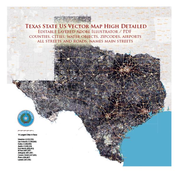
A general overview of the transportation infrastructure in Texas, United States.
Water Transportation: Texas has a significant network of waterways, including rivers, ports, and coastal areas. The Gulf Coast provides access to the Gulf of Mexico, making it a vital region for maritime trade. Major ports in Texas include the Port of Houston, one of the largest and busiest ports in the United States, and the Port of Corpus Christi. These ports handle a substantial amount of cargo, including petroleum and petrochemical products.
Railroad Transportation: Texas has an extensive railroad system that plays a crucial role in transporting goods across the state and connecting to other parts of the country. Class I railroads, such as Union Pacific and BNSF Railway, operate in Texas, facilitating the movement of goods, including energy resources, agricultural products, and manufactured goods.
Air Transportation: Texas is served by several major airports, catering to both domestic and international flights. Dallas/Fort Worth International Airport (DFW) and George Bush Intercontinental Airport (IAH) in Houston are two of the busiest airports in the United States. Other significant airports include Austin-Bergstrom International Airport (AUS) in Austin and San Antonio International Airport (SAT). These airports contribute to Texas’s connectivity and economic activity by facilitating the movement of passengers and cargo.
It’s important to check for the latest information and developments, as the transportation infrastructure in any state can evolve over time due to economic, regulatory, and technological changes. For the most up-to-date information, you may want to refer to official sources such as the Texas Department of Transportation (TxDOT) or other relevant agencies.


 Author: Kirill Shrayber, Ph.D. FRGS