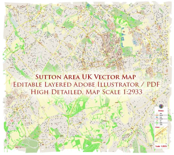
The Sutton area in the United Kingdom is known for its mix of residential, commercial, and cultural amenities. Here’s a general overview:
1. Residential Area: Sutton is primarily a residential area with a mix of housing options, including detached and semi-detached houses, apartments, and townhouses. The area is known for its relatively suburban feel while still being well-connected to central London.
2. Parks and Green Spaces: Sutton offers various parks and green spaces where residents can enjoy outdoor activities and leisure. One notable green area is Sutton Green, providing a peaceful environment for relaxation.
3. Cultural Amenities: Sutton has several cultural amenities that contribute to the local community’s vibrancy. This may include local theaters, community centers, and art galleries. Check for events and exhibitions that take place in these venues to engage with the cultural scene.
4. Shopping and Dining: The town center usually features a range of shops, restaurants, and cafes, providing residents with convenient access to daily necessities and a variety of dining options. Sutton High Street is known for its shopping opportunities.
5. Transport Links: Sutton benefits from good transportation links, including railway connections. Sutton railway station is a major transportation hub, offering access to central London and other surrounding areas.
6. Educational Institutions: The area is likely to have various schools and educational institutions, contributing to the overall development of the community.
7. Local Events: Depending on the time of year, Sutton may host various local events and festivals that bring the community together. These events could range from cultural celebrations to street fairs.
8. Sports and Recreation: Facilities for sports and recreation may be available, including sports clubs, gyms, and leisure centers.
It’s recommended to check the latest local sources or websites for the most current information about the Sutton area.


 Author: Kirill Shrayber, Ph.D. FRGS