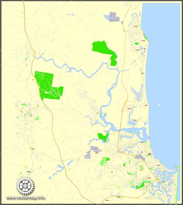
The Sunshine Coast in Australia is a popular region located in the southeastern part of the state of Queensland. It is known for its stunning beaches, lush hinterland, and vibrant communities. In terms of maritime and air transportation, the Sunshine Coast is well-connected and accessible.
Maritime Transportation:
- Ports and Harbors:
- The Sunshine Coast doesn’t have major commercial ports or harbors, as it is primarily a tourist and residential area rather than an industrial hub. However, there are smaller marinas and boat ramps catering to recreational boating and fishing.
- Boating and Recreation:
- The region is popular for recreational boating, sailing, and fishing. Marinas such as Mooloolaba Marina and Kawana Waters Marina provide facilities for boat owners and enthusiasts.
- Ferries and Cruises:
- There may be ferry services operating for scenic cruises or transportation between certain coastal areas, providing both locals and tourists with enjoyable water transport options.
Air Transportation:
- Sunshine Coast Airport:
- The Sunshine Coast Airport (MCY) is the primary airport serving the region. It is located north of Maroochydore and offers domestic flights to major Australian cities, including Sydney and Melbourne. The airport has facilities for both domestic and international cargo.
- Airlines:
- Airlines such as Qantas, Virgin Australia, and Jetstar operate regular flights to and from the Sunshine Coast Airport, connecting the region to the rest of Australia.
- General Aviation:
- The Sunshine Coast is home to several smaller airports and airstrips that cater to general aviation and private aircraft. These facilities support activities like flying schools, private charters, and recreational flying.
- Infrastructure:
- The Sunshine Coast Airport has undergone expansions and upgrades to accommodate the growing number of passengers. It has a modern terminal, car rental services, and other amenities for travelers.
- Transportation to and from the Airport:
- Ground transportation options to and from the airport include taxis, shuttles, and rental cars. The airport is well-connected to the region’s road network.
Overall, while the Sunshine Coast may not have a significant industrial maritime presence, its air transportation infrastructure plays a crucial role in connecting the region to the broader Australian transportation network, facilitating tourism, business, and transportation of goods.


 Author: Kirill Shrayber, Ph.D. FRGS