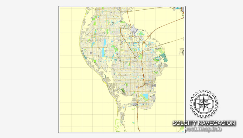
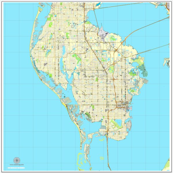
A general overview of maritime and air transportation in St. Petersburg, Florida.
Maritime Transportation:
- Port of St. Petersburg: St. Petersburg has a municipal marina, the Port of St. Petersburg, which is located downtown on the waterfront. While it primarily caters to recreational boaters, it contributes to the city’s maritime activity.
- Yacht Clubs and Marinas: The area is home to several yacht clubs and marinas, supporting both recreational boating and some commercial activities.
- Cruise Industry: While Tampa, located nearby, is a more significant hub for cruise ships, St. Petersburg benefits from the tourism generated by the cruise industry in the Tampa Bay region.
Air Transportation:
- Albert Whitted Airport: St. Petersburg has its own airport, Albert Whitted Airport (SPG). This is a general aviation airport situated near downtown. It primarily serves private and charter flights.
- Tampa International Airport (TPA): Although not located in St. Petersburg, Tampa International Airport is a major airport serving the Tampa Bay area, including St. Petersburg. It provides domestic and international flights, making air travel convenient for residents and visitors.
- St. Pete-Clearwater International Airport (PIE): This airport is another nearby option, situated between St. Petersburg and Clearwater. It handles both domestic and limited international flights, mainly catering to leisure travelers.
- Air Transportation Hubs: The proximity of St. Petersburg to Tampa and its international airport, as well as St. Pete-Clearwater International Airport, ensures that residents and businesses have easy access to air transportation for both domestic and international travel.


 Author: Kirill Shrayber, Ph.D. FRGS