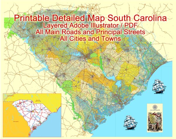
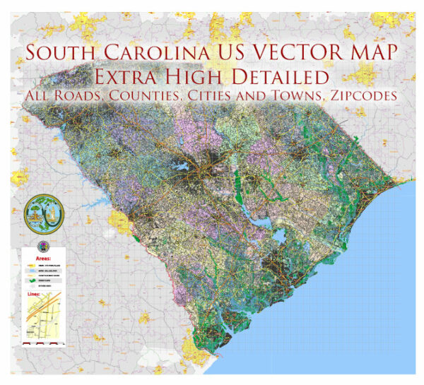
South Carolina is not traditionally recognized as a major maritime or air transportation hub compared to some other states in the U.S. However, it does have several key features and facilities related to both modes of transportation.
Maritime Transportation:
- Ports: The Port of Charleston is a significant maritime facility in South Carolina. It is one of the busiest ports on the East Coast and plays a crucial role in international trade. The port handles a wide range of cargo, including containers, automobiles, and bulk goods.
- Inland Waterways: South Carolina has an extensive network of rivers and inland waterways. The Intracoastal Waterway, a series of interconnected channels, is important for maritime traffic along the Atlantic Coast.
- Maritime Industry: The maritime industry in South Carolina includes shipping, logistics, and related services. The state’s economy is influenced by activities at its ports, and there are businesses engaged in shipbuilding, repair, and maintenance.
Air Transportation:
- Airports: South Carolina has several airports, with the main international airport being Charleston International Airport. Other significant airports include Greenville-Spartanburg International Airport, Columbia Metropolitan Airport, and Myrtle Beach International Airport.
- Aerospace Industry: While not directly related to air transportation, South Carolina has seen growth in its aerospace industry. The state is home to Boeing facilities, including the Boeing Charleston manufacturing plant, which produces various aircraft components.
- Military Presence: South Carolina has military bases, such as Joint Base Charleston, which has both air and maritime components. Military aviation is a significant part of the state’s overall air transportation activities.
It’s essential to note that the status of transportation infrastructure and industry can change over time. For the latest and most accurate information, it’s recommended to check with local authorities, transportation agencies, and industry reports for updates on maritime and air transportation in South Carolina.


 Author: Kirill Shrayber, Ph.D. FRGS