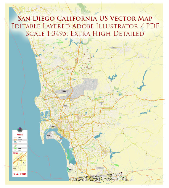
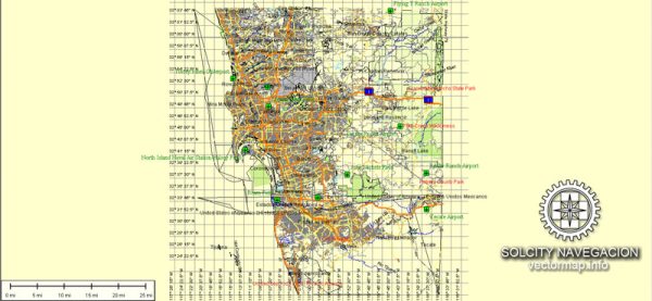
San Diego, located in Southern California, is a significant hub for maritime and air transportation. The city’s strategic location along the Pacific Coast, proximity to the U.S.-Mexico border, and favorable weather conditions contribute to its importance in transportation and trade. Here’s an overview of maritime and air transportation in San Diego:
Maritime Transportation:
- Port of San Diego:
- The Port of San Diego is a major maritime gateway for international trade and commerce.
- It consists of several terminals, including cargo terminals, cruise terminals, and facilities for handling various types of cargo.
- The port plays a vital role in the import and export of goods, serving as a key link in the global supply chain.
- Cargo Handling:
- The port handles a diverse range of cargo, including containers, automobiles, bulk cargo, and project cargo.
- Specialized facilities are available for the efficient loading and unloading of different types of goods.
- Cruise Ship Terminal:
- San Diego has a cruise ship terminal, attracting numerous cruise liners and tourists to the region.
- The terminal serves as a departure and arrival point for cruises along the Pacific Coast and to destinations such as Mexico and Hawaii.
- Naval Bases:
- San Diego is home to several naval bases, including Naval Base San Diego and Naval Air Station North Island.
- These bases support the U.S. Navy and contribute to the city’s maritime significance.
Air Transportation:
- San Diego International Airport (SAN):
- San Diego International Airport is the primary airport serving the region.
- It facilitates domestic and international flights, connecting San Diego to major cities worldwide.
- The airport has multiple terminals, offering a range of services and amenities.
- General Aviation Airports:
- In addition to the international airport, there are several general aviation airports in and around San Diego, supporting private and recreational flying.
- Military Air Bases:
- San Diego has military air bases, such as Marine Corps Air Station Miramar.
- These bases play a crucial role in national defense and contribute to the overall air transportation infrastructure of the region.
- Air Cargo Operations:
- San Diego International Airport handles air cargo operations, facilitating the movement of goods by air.
- Cargo facilities and logistics services are available to support the efficient transport of goods.
- Airlines and Connectivity:
- Major airlines operate at San Diego International Airport, providing a wide range of domestic and international flight options.
- The airport serves as a key transportation hub for travelers and businesses in the Southern California region.
In summary, San Diego’s maritime and air transportation infrastructure is integral to its role in global trade, tourism, and military operations. The combination of a major port, international airport, and military installations positions San Diego as a vital player in the transportation network of the United States.


 Author: Kirill Shrayber, Ph.D. FRGS