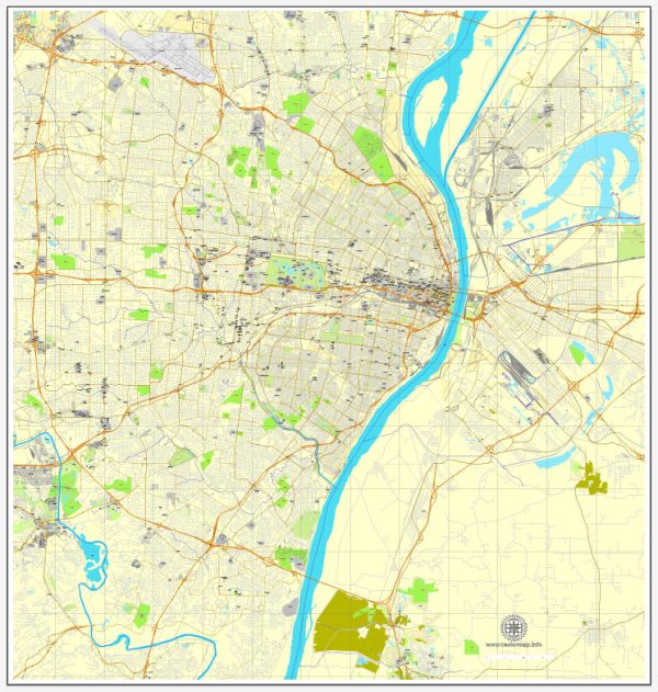
General description of water and air transportation in St. Louis, Missouri, in the United States.
Water Transportation:
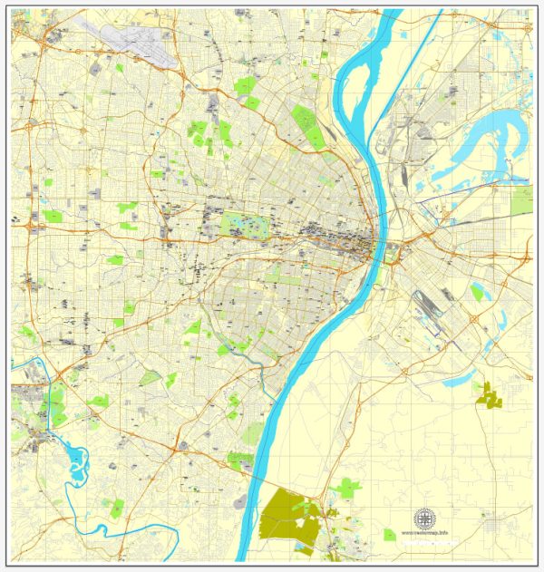
1. Mississippi River: St. Louis is located along the banks of the Mississippi River, one of the major waterways in the United States. The river plays a crucial role in transporting goods via barges and other water vessels. The Port of St. Louis is an important inland port for the region, facilitating the movement of bulk commodities.
2. Recreational Boating: The city and its surrounding areas offer recreational opportunities for boating enthusiasts. Marinas and boat ramps along the Mississippi River and other nearby water bodies provide access for private boat owners and recreational activities.
Air Transportation:
1. Lambert-St. Louis International Airport: Lambert-St. Louis International Airport (STL) serves as the primary airport for the St. Louis metropolitan area. It is a major hub for domestic and international flights, connecting the region to various destinations worldwide. The airport has multiple terminals and provides facilities for both passenger and cargo flights.
2. General Aviation: In addition to the international airport, there are several general aviation airports in and around St. Louis. These airports cater to private and smaller aircraft, offering services for general aviation activities, including private flights, charters, and flight training.
3. Air Cargo: Lambert-St. Louis International Airport also serves as a hub for air cargo transportation. Various cargo carriers operate out of the airport, facilitating the movement of goods and products both nationally and internationally.
It’s essential to check for any updates or changes in transportation infrastructure and services, as these can evolve over time. Local authorities, transportation agencies, and official websites are good sources for the most recent information on water and air transportation in St. Louis.


 Author: Kirill Shrayber, Ph.D. FRGS