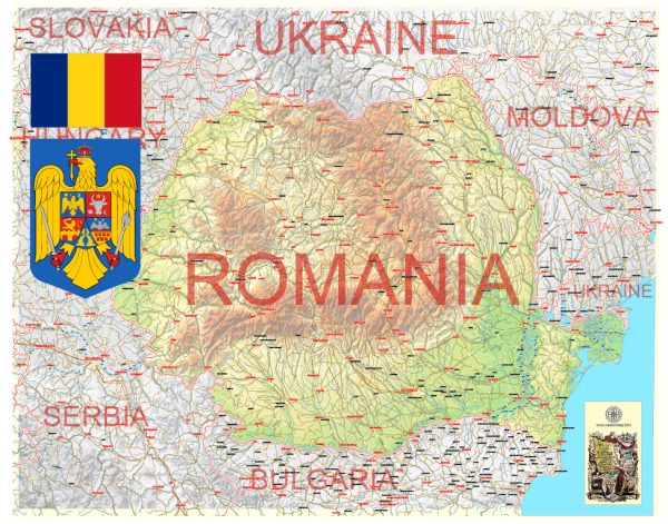
General overview of Romania’s railroads and air transportation.
Railroads in Romania:
- Rail Network: Romania has an extensive rail network that plays a crucial role in the country’s transportation system. The network connects major cities and towns, facilitating both passenger and freight transport.
- Infrastructure: The rail infrastructure in Romania includes electrified and non-electrified lines. The electrified lines are present in the more densely populated and industrialized areas. Major railway stations are spread across the country, with Bucharest serving as a central hub.
- Passenger Services: Passenger trains operate on various routes, offering both domestic and international services. Major cities like Bucharest, Cluj-Napoca, Timișoara, and Iași are well-connected by rail.
- Freight Transportation: Railways are crucial for the transportation of goods, linking industrial centers with ports and other key locations. The rail system also plays a role in international freight transport, connecting Romania with neighboring countries.
Air Transportation in Romania:
- Airports: Romania has several international airports, with Henri Coandă International Airport in Bucharest being the busiest and most significant. Other major airports include Cluj International Airport, Timișoara Traian Vuia International Airport, and Otopeni Airport.
- Airlines: Romania is served by both national and international airlines. TAROM is the flag carrier of Romania, operating domestic and international flights. Various other international airlines connect Romania to destinations worldwide.
- Air Traffic: Air traffic in Romania is significant, with a steady flow of both domestic and international flights. Bucharest, as the capital, is a key hub for air travel, connecting the country to major European cities and beyond.
- Infrastructure and Modernization: Romania has invested in modernizing and expanding its airport infrastructure to accommodate the increasing demand for air travel. This includes improvements in terminals, runways, and air traffic control systems.
- Tourism Impact: Air transportation plays a crucial role in Romania’s tourism industry, bringing in visitors to explore historical sites, natural landscapes, and cultural attractions.


 Author: Kirill Shrayber, Ph.D. FRGS