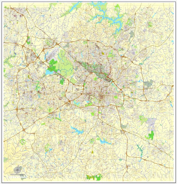
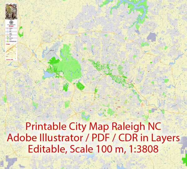
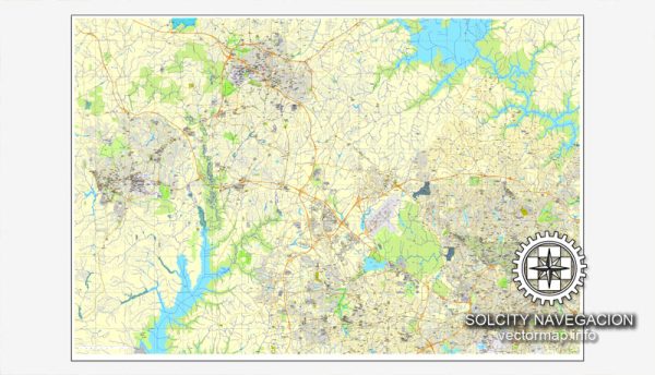
General overview of water and air transportation in Raleigh, North Carolina.
Water Transportation: Raleigh is not directly situated on a major body of water, so it doesn’t have a significant inland port or water transportation infrastructure. However, the nearby city of Durham, which is part of the Research Triangle region along with Raleigh, is connected to the Atlantic Ocean via the Intracoastal Waterway. This waterway facilitates the transport of goods and materials, especially for industries in the broader region.
Air Transportation: Raleigh-Durham International Airport (RDU) serves as the primary airport for Raleigh and the surrounding areas. RDU is located approximately 4.5 miles northeast of the city center. It is a major transportation hub, providing both domestic and limited international flights.
Key features of Raleigh-Durham International Airport include:
- Terminals: RDU has two terminals – Terminal 1 and Terminal 2. Terminal 2 is the larger and more modern facility, handling the majority of the airport’s passenger traffic.
- Airlines: Several major airlines operate out of RDU, connecting the region to major cities across the United States and a few international destinations.
- Cargo Services: In addition to passenger flights, RDU facilitates cargo transportation, supporting the movement of goods and products.
- Ground Transportation: Various ground transportation options are available, including rental cars, shuttles, taxis, and rideshare services.
- Expansion and Development: The airport has undergone expansions and developments in recent years to accommodate the growing demand for air travel in the region.
For the most current and specific information, it is advisable to check with local authorities, transportation agencies, or the official website of Raleigh-Durham International Airport.


 Author: Kirill Shrayber, Ph.D. FRGS