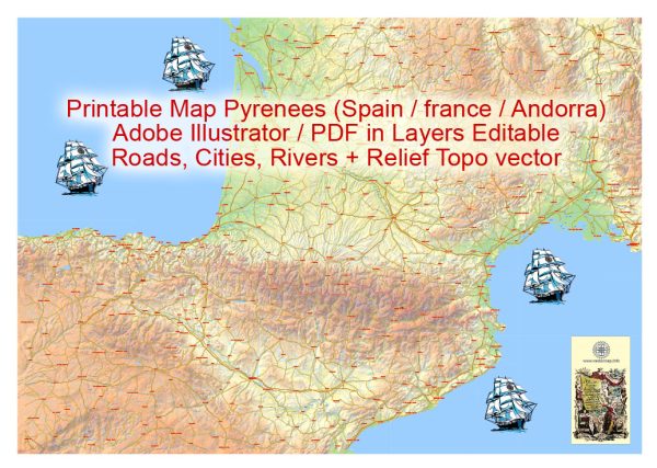
The Pyrenees is a mountain range in southwestern Europe that forms a natural border between Spain and France. It is primarily known for its stunning landscapes, diverse ecosystems, and outdoor recreational activities. However, the Pyrenees themselves do not directly involve water or air transportation, as they are more associated with land-based activities.
Water Transportation:
- Rivers and Lakes: The Pyrenees is home to several rivers and lakes, offering opportunities for water-related activities such as fishing, boating, and kayaking. Some notable rivers include the Garonne and the Ebro.
Air Transportation:
- Airports: While the Pyrenees itself does not have airports within the mountain range, there are airports located in the surrounding regions. Cities like Toulouse (France) and Zaragoza (Spain) have international airports that serve as gateways to the Pyrenees.
- Helicopter Tours: In some areas around the Pyrenees, you may find helicopter tour services that provide aerial views of the mountain range and its breathtaking landscapes.
It’s important to note that transportation within the Pyrenees region is primarily focused on road networks, with well-maintained roads connecting various towns, villages, and natural attractions. Hiking and trekking are popular activities for exploring the diverse ecosystems and enjoying the scenic beauty of the Pyrenees.


 Author: Kirill Shrayber, Ph.D. FRGS