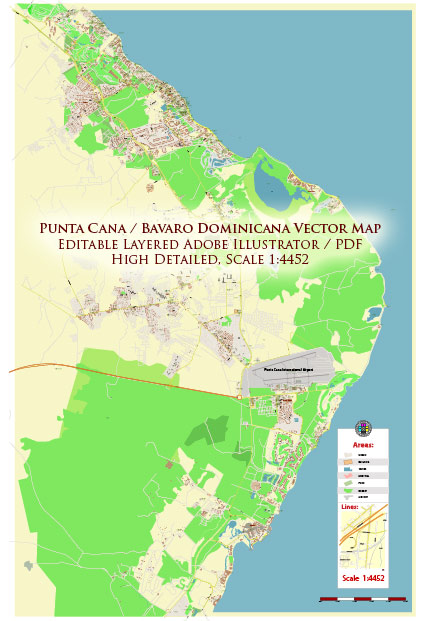
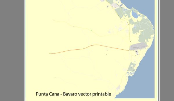
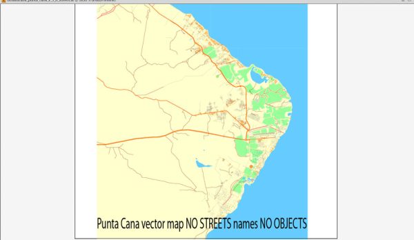
Punta Cana, located in the eastern part of the Dominican Republic, is a popular tourist destination known for its beautiful beaches and resorts.
Air Transportation:
1. Punta Cana International Airport (PUJ):
- Location: The main airport serving the Punta Cana region.
- Facilities: It is a modern airport with various amenities, including duty-free shops, restaurants, and car rental services.
- Airlines: It accommodates a range of international airlines connecting Punta Cana with major cities worldwide.
2. La Romana International Airport (LRM):
- Location: While not in Punta Cana, La Romana Airport is another nearby option for air travel.
- Services: It offers international flights and is about a two-hour drive from Punta Cana.
Maritime Transportation:
1. Port of Punta Cana:
- Location: Punta Cana does not have a major commercial port. The tourism industry largely relies on the nearby Punta Cana Marina.
- Punta Cana Marina: While not primarily for commercial shipping, the marina caters to private boats and yachts.
2. Ports in Nearby Cities:
- Port of La Romana: Located about two hours away, it serves as a significant seaport for the region.
- Port of Santo Domingo: The capital city’s port, about 3-4 hours away by road, is the largest in the country and handles commercial cargo.
Ground Transportation:
1. Roads and Highways:
- Punta Cana Highway: The area is well-connected by highways, facilitating ground transportation.
- Car Rentals and Taxis: Car rental services and taxis are available for local transportation.
2. Transfers and Shuttles:
- Resort Shuttles: Many resorts offer airport transfer services for their guests.
- Private Transportation Services: Various companies provide private transportation options.
Local Transportation:
1. Taxis:
- Readily Available: Taxis are generally available for short-distance travel within the Punta Cana area.
2. Tourist Transportation Services:
- Excursion Services: Numerous companies offer organized tours and excursions with transportation included.
Please verify this information with up-to-date sources, as changes in infrastructure and services.


 Author: Kirill Shrayber, Ph.D. FRGS