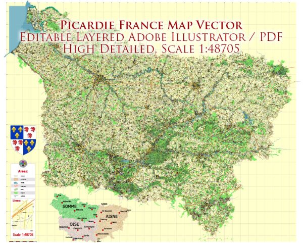
Picardie is a historical region in northern France, and while it’s no longer an administrative region after the 2016 territorial reform, it still holds cultural and historical significance. In terms of water and air transportation, here’s a general overview:
Water Transportation:
- Rivers: Picardie is crossed by several rivers, including the Somme River. The Somme is navigable, and historically, it played a crucial role in transportation, trade, and communication within the region.
- Canals: There is an extensive network of canals in Picardie. Canals like Canal de la Somme and Canal du Nord have played a vital role in transporting goods and people.
- Ports: While Picardie is not a coastal region, it does have inland ports along the navigable rivers and canals. These ports facilitate the transportation of goods and materials.
Air Transportation:
- Airports: Picardie is served by several airports, with the most notable being Beauvais-Tillé Airport. Beauvais Airport is located near Beauvais, a city in the Picardy region, and it primarily serves as a hub for low-cost carriers.
- Access to International Airports: While Picardie itself might not have large international airports, it is well-connected to major international airports in nearby regions, including Charles de Gaulle Airport in Paris.
- Agricultural Airfields: Given the agricultural nature of some areas in Picardie, there might be small airfields used for agricultural purposes, including crop dusting and transportation of agricultural products.
It’s important to note that the transportation infrastructure in any region can evolve, and there might have been developments or changes.


 Author: Kirill Shrayber, Ph.D. FRGS