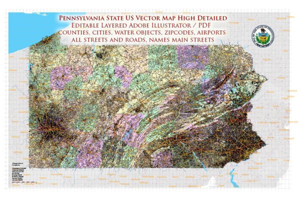
Some general information about water and air transportation in the state of Pennsylvania, USA.
Water Transportation:
- Rivers and Ports: Pennsylvania has several navigable rivers, including the Delaware River, Susquehanna River, and Ohio River. The Port of Philadelphia, located along the Delaware River, is a major seaport and plays a crucial role in the transportation of goods to and from the state.
- Canals: Historically, Pennsylvania had an extensive canal system, such as the Pennsylvania Canal and the Delaware and Hudson Canal. While these historic canals are not used for transportation today, they played a significant role in the state’s economic development in the 19th century.
- Inland Waterways: The state’s inland waterways contribute to the transportation of goods and materials. The Pennsylvania Canal System and various smaller waterways have been used for transporting goods by barge.
Air Transportation:
- Airports: Pennsylvania is home to several airports, both international and regional. Philadelphia International Airport (PHL) is the largest and busiest airport in the state, providing domestic and international flights. Other major airports include Pittsburgh International Airport (PIT), Harrisburg International Airport (MDT), and Lehigh Valley International Airport (ABE).
- Aerospace Industry: Pennsylvania has a notable aerospace industry, with companies involved in aircraft manufacturing, maintenance, and related services. The state’s aerospace sector contributes to both civil and military aviation.
- General Aviation: Pennsylvania has numerous general aviation airports that serve private and recreational pilots. These airports are distributed throughout the state, supporting a range of aviation activities.
It’s essential to check for the latest information and developments, as infrastructure and transportation services can change over time. For the most recent and specific details, you may want to consult official transportation agencies, such as the Pennsylvania Department of Transportation (PennDOT) or relevant local authorities.


 Author: Kirill Shrayber, Ph.D. FRGS