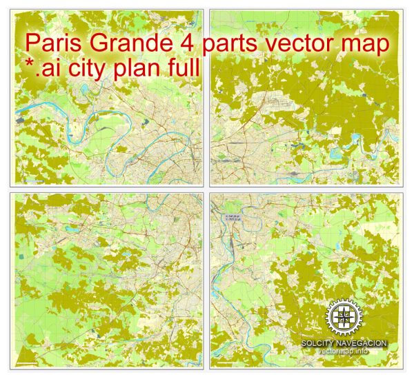
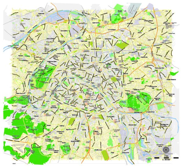
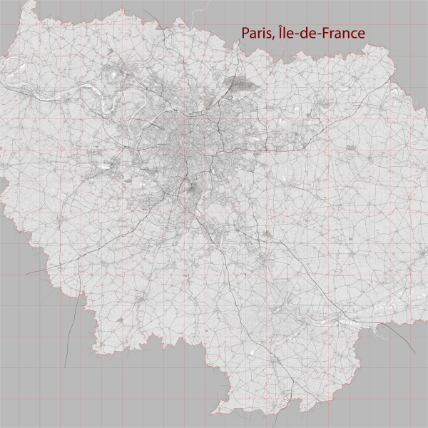
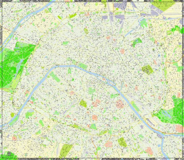
General overview of water and air transportation in Paris, France.
Water Transportation:
- Seine River Cruises: The Seine River flows through Paris, offering scenic boat cruises that provide stunning views of iconic landmarks such as the Eiffel Tower, Notre-Dame Cathedral, and the Louvre Museum. These cruises are popular among tourists and locals alike.
- Batobus: The Batobus is a water bus service operating on the Seine River. It stops at various key points in the city, making it a convenient mode of transport for those looking to explore different areas of Paris.
- Canal Saint-Martin: This historic canal in Paris is not only a picturesque waterway but also offers boat tours. The canal is known for its charming atmosphere and tree-lined banks.
Air Transportation:
- Airports: Paris is served by several airports, with the two main ones being Charles de Gaulle Airport (CDG) and Orly Airport (ORY). These airports connect Paris to domestic and international destinations.
- Charles de Gaulle Airport (CDG): Located to the northeast of Paris, CDG is one of the busiest airports in Europe. It has multiple terminals and offers a wide range of services and facilities.
- Orly Airport (ORY): Situated to the south of Paris, Orly Airport is another major international airport serving the city. It has multiple terminals catering to both domestic and international flights.
- Public Transportation to Airports: Paris has efficient public transportation options, including trains (RER B and Orlyval for CDG, Orlyval for Orly), buses, and taxis, providing convenient access to and from the airports.
- Airlines: Numerous airlines operate flights to and from Paris, connecting the city to destinations around the world. Air France is the flag carrier, but many other international carriers also serve the city.


 Author: Kirill Shrayber, Ph.D. FRGS