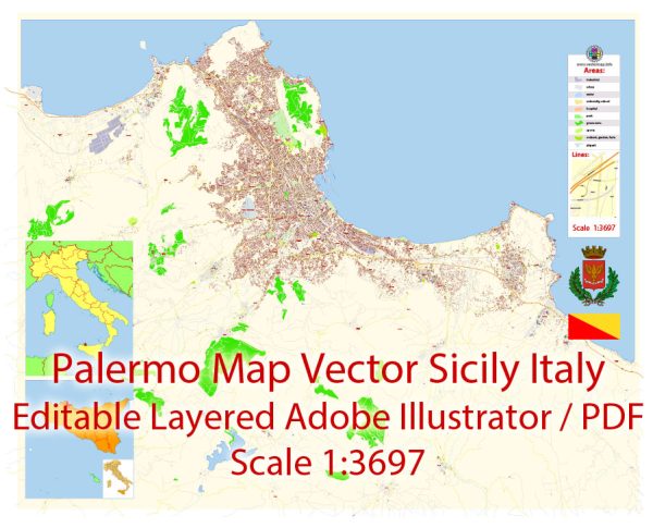
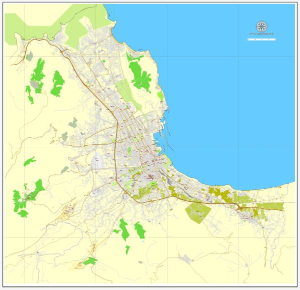
General overview of Palermo’s maritime and air transportation systems.
Maritime Transportation:
Port of Palermo:
- Location: The Port of Palermo is situated on the northwest coast of Sicily.
- Role: It serves as a major maritime gateway for the region, facilitating both passenger and cargo traffic.
- Facilities: The port offers facilities for handling various types of cargo, including containers and general cargo.
- Connections: It provides ferry services to nearby Mediterranean destinations and islands.
Air Transportation:
Falcone-Borsellino Airport:
- Location: The main airport serving Palermo is Falcone-Borsellino Airport (Aeroporto di Palermo Falcone-Borsellino).
- IATA Code: PMO
- Connectivity: The airport has both domestic and international flights, connecting Palermo to major cities in Europe and other destinations.
- Airlines: Various airlines operate from Falcone-Borsellino Airport, including both full-service and low-cost carriers.
Transportation to and from the Airport:
- Ground Transportation: The airport is well-connected to the city center and other parts of Palermo through taxis, buses, and car rentals.
- Road Access: The airport is accessible by road, and there are parking facilities for private vehicles.
Airport Facilities:
- Terminals: The airport has modern terminals equipped with facilities for passengers, including lounges, shops, and dining options.
- Cargo Handling: Facilities for handling cargo, including freight and express shipments.
Challenges and Future Developments:
- Infrastructure Upgrades: Ongoing efforts to enhance both maritime and air infrastructure to accommodate increasing demand and improve efficiency.
- Intermodal Connectivity: Improving connectivity between different modes of transportation, such as integrating ports, airports, and road networks.
- Sustainable Practices: Emphasis on sustainable and eco-friendly practices in both maritime and air transportation.
For the most current and specific information, especially regarding recent developments or changes, it is advisable to refer to updated sources, official publications, or local transportation authorities in Palermo, Sicily.


 Author: Kirill Shrayber, Ph.D. FRGS