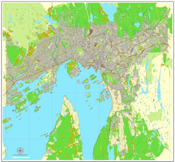
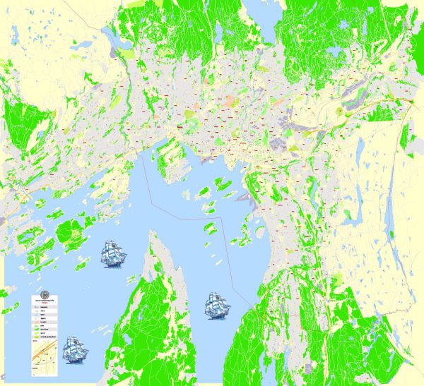
Oslo, the capital city of Norway, is a major hub for maritime and air transportation. Here’s a brief description of both modes of transportation in Oslo:
Maritime Transportation:
- Port of Oslo: The Port of Oslo is a vital gateway for maritime trade and passenger traffic. Located at the northern end of the Oslofjord, it serves as a key transportation link between Norway and the rest of the world. The port handles various types of cargo, including containers, general cargo, and liquid bulk.
- Ferry Services: Oslo is well-connected to nearby coastal and international destinations through ferry services. Ferries operate within the Oslofjord, connecting the city to neighboring towns and islands. International ferry routes link Oslo to Denmark and other parts of Scandinavia.
- Cruise Traffic: Oslo is a popular port of call for cruise ships, attracting tourists from around the world. Cruise liners dock at the cruise terminal, offering passengers easy access to the city’s attractions and cultural landmarks.
Air Transportation:
- Oslo Airport, Gardermoen (OSL): Oslo’s main international airport is Gardermoen, located about 35 kilometers north of the city center. It is the busiest airport in Norway and serves as a major hub for both domestic and international flights. OSL has two runways and multiple terminals, offering a wide range of services and amenities for travelers.
- Airlines: Several airlines operate from Oslo Airport, connecting the city to destinations across Europe, Asia, North America, and beyond. Norwegian Air Shuttle, the country’s largest airline, has a significant presence at OSL, along with other major international carriers.
- Domestic Connectivity: Oslo is well-connected domestically through regular flights to other major cities in Norway. Domestic flights are crucial for maintaining accessibility within the country, especially considering the challenging terrain and long distances.
- Public Transportation to the Airport: Oslo Airport is easily accessible from the city center by various modes of transportation, including the Airport Express Train (Flytoget), buses, and taxis.
Overall, Oslo’s maritime and air transportation infrastructure plays a pivotal role in connecting the city to the global economy and facilitating the movement of people and goods. The efficient transportation network reflects Norway’s commitment to maintaining a well-integrated and accessible capital city.


 Author: Kirill Shrayber, Ph.D. FRGS