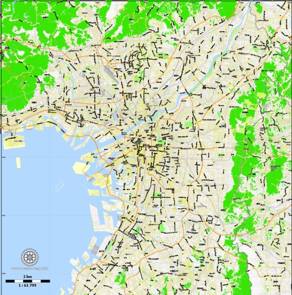
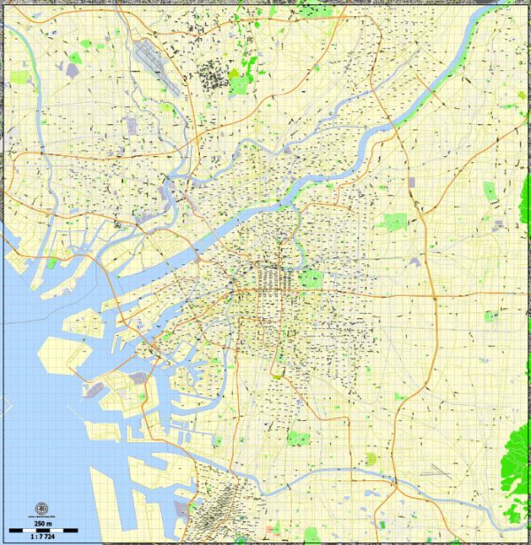
Osaka, Japan, is a major economic and transportation hub in the Kansai region. Here’s an overview of maritime and air transportation in Osaka:
Maritime Transportation:
- Ports: Osaka has several ports, and one of the major ones is the Port of Osaka. The port is a critical gateway for international trade, handling a significant volume of cargo. It accommodates container ships, general cargo vessels, and other types of maritime traffic.
- Container Terminals: The port has container terminals equipped with modern facilities for efficient loading and unloading of containers. These terminals play a crucial role in the import and export activities of the region.
- Cruise Terminal: Osaka also serves as a port of call for cruise ships. The Osaka Nanko Sunport is a popular cruise terminal where cruise liners dock, allowing tourists to explore the city and its attractions.
Air Transportation:
- Osaka International Airport (Itami): Also known as Itami Airport, it primarily handles domestic flights. Itami Airport is one of the major airports serving the Osaka metropolitan area and plays a crucial role in connecting Osaka with other cities in Japan.
- Kansai International Airport: Located on an artificial island in Osaka Bay, Kansai International Airport is a major international gateway for the region. It handles a large volume of both domestic and international flights, connecting Osaka with destinations worldwide.
- Air Cargo Facilities: Both Itami Airport and Kansai International Airport have dedicated air cargo facilities to support the transportation of goods by air. These facilities contribute to the efficient movement of cargo, including high-value and time-sensitive shipments.
- Logistics and Connectivity: Osaka’s airports are well-connected to the city’s logistics and transportation networks, facilitating the seamless movement of passengers and cargo to and from the airports.
- High-Speed Rail Access: Osaka is connected to Japan’s high-speed rail network, including the Shinkansen. This provides a fast and convenient means of transportation between Osaka and other major cities in Japan.
It’s important to note that developments in transportation infrastructure can occur, and new projects may be initiated. For the latest and most accurate information on maritime and air transportation in Osaka, it is recommended to consult more recent sources or official transportation authorities.


 Author: Kirill Shrayber, Ph.D. FRGS