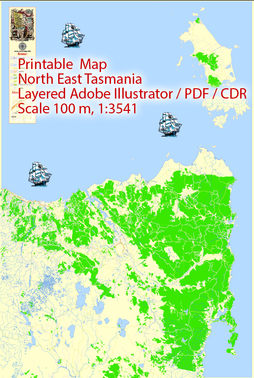
Some general information about the region’s transportation infrastructure based on historical data.
Maritime Transportation:
- Ports and Harbors: North East Tasmania has several ports and harbors that facilitate maritime transportation. For example, the Port of Bell Bay is a significant industrial port in the region, handling various commodities and goods.
- Shipping Services: Shipping services play a crucial role in transporting goods to and from North East Tasmania. These services connect the region to other parts of Australia and international markets.
Air Transportation:
- Airports: Launceston Airport is the primary airport serving the northern part of Tasmania, including the North East region. The airport provides domestic flights to major cities in Australia.
- Airlines: Several domestic airlines operate flights to and from Launceston Airport, connecting the region to cities such as Melbourne and Sydney.
- General Aviation: In addition to commercial flights, there may be facilities for general aviation, including private and charter flights, providing flexibility for travel within the region.
- Infrastructure: Launceston Airport is equipped with the necessary infrastructure for both passenger and cargo transportation. This includes terminals, runways, and facilities for handling various types of aircraft.
It’s important to note that transportation infrastructure and services can evolve over time, so I recommend checking with local authorities, transportation agencies, or relevant sources for the most up-to-date information on maritime and air transportation in North East Tasmania.


 Author: Kirill Shrayber, Ph.D. FRGS